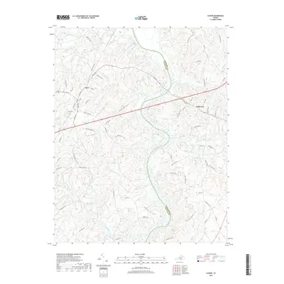
2019 Map of Clover
USGS Topo · Published 2019About this map
Clover serves as the primary settlement on this landscape, situated west of the winding Roanoke River which forms the boundary between Charlotte and Halifax counties. This interior section of Southside Virginia is defined by an intricate network of watercourses, including Clover Creek, Sandy Creek, and the curiously named Ashcake Creek. The rural character is underscored by the presence of Saint Matthews Cemetery and a road system that still reflects its river-centered history, evidenced by the path of Mosely Ferry Road.
Find a feature on this map
83 named features on this map. Tap any name to fly to it.
Don’t see what you’re looking for? This feature index may not catch every label — zoom into the map to look around manually.
Map Details
Editions of this 2019 Clover Map
This is the sole edition of this map. No revisions or reprints were ever made.
Other maps of this area

1941 · Clarksville
USGS Topo · 1:48,000

1943 · Clarksville
USGS Topo · 1:62,500

1953 · South Boston
USGS Topo · 1:62,500

1953 · Greensboro
USGS Topo · 1:250,000

1954 · Greensboro
USGS Topo · 1:250,000

1954 · Clover
USGS Topo · 1:62,500

1954 · Halifax
USGS Topo · 1:62,500

1957 · South Boston
USGS Topo · 1:62,500

1957 · Clarksville
USGS Topo · 1:62,500

1962 · Greensboro
USGS Topo · 1:250,000