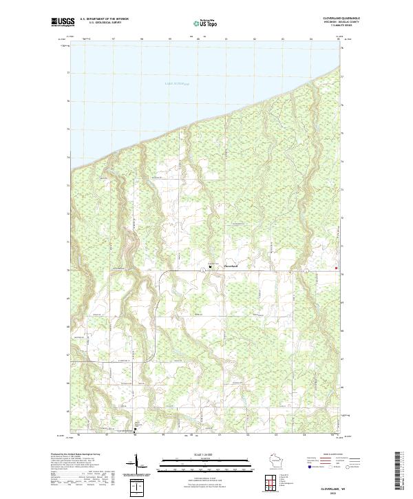
2022 Map of Cloverland
USGS Topo · Published 2022About this map
Lake Superior defines the northern edge of this coastal Wisconsin landscape, where several drainages, including Pearson Cr and Haukkila Cr, flow through the township toward the lake. The settlement of Cloverland serves as a central point in a grid of rural roads named for local families, such as Jack Pine Dr and Skoglund Rd. This area is characterized by its late 20th-century rural infrastructure and preservation of local heritage through its burial grounds.
Find a feature on this map
55 named features on this map. Tap any name to fly to it.
Don’t see what you’re looking for? This feature index may not catch every label — zoom into the map to look around manually.
Map Details
Editions of this 2022 Cloverland Map
This is the sole edition of this map. No revisions or reprints were ever made.
Other maps of this area

1947 · Brule
USGS Topo · 1:48,000

1949 · Poplar
USGS Topo · 1:48,000

1953 · Ashland
USGS Topo · 1:250,000

1954 · Lake Nebagamon
USGS Topo · 1:24,000

1954 · Poplar NE
USGS Topo · 1:24,000

1954 · Poplar
USGS Topo · 1:24,000

1954 · Cloverland
USGS Topo · 1:24,000

1958 · Ashland
USGS Topo · 1:250,000
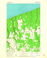
1961 · Cloverland
USGS Topo · 1:24,000
1961 · Lake Nebagamon
USGS Topo · 1:24,000