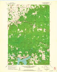
1961 Map of Lake Nebagamon
USGS Topo · Published 1962About this map
Lake Nebagamon serves as the focal point of this northern Wisconsin landscape, showing the village and its shoreline as they appeared in the early 1960s. The region is defined by its transit history, prominently featuring the Northern Pacific railroad line cutting east-west through settlements like Maple and Blueberry. Evidence of earlier timber or transport routes persists in the Old Railroad Grade found south of the village near Pine Lake.
Find a feature on this map
28 named features on this map. Tap any name to fly to it.
Don’t see what you’re looking for? This feature index may not catch every label — zoom into the map to look around manually.
Map Details
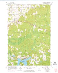
Editions of this 1961 Lake Nebagamon Map
2 editions found
Other maps of this area

1945 · Highland
USGS Topo · 1:48,000

1945 · Solon Springs
USGS Topo · 1:48,000

1947 · Brule
USGS Topo · 1:48,000

1949 · Solon Springs
USGS Topo · 1:48,000

1949 · Poplar
USGS Topo · 1:48,000

1949 · Highland
USGS Topo · 1:48,000

1953 · Ashland
USGS Topo · 1:250,000

1954 · Lake Nebagamon
USGS Topo · 1:24,000

1954 · Poplar NE
USGS Topo · 1:24,000

1954 · Poplar
USGS Topo · 1:24,000