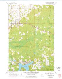
1961 Map of Lake Nebagamon
USGS Topo · Published 1976About this map
Lake Nebagamon anchors this northern Wisconsin landscape, serving as the focal point for a region defined by its timber-era legacy and rural transition during the mid-20th century. The settlement of Lake Nebagamon sits at the water's edge, supported by the Lake Nebagamon Ch and a network of secondary roads. Further north, the Burlington Northern railroad cuts through the small communities of Maple, Blueberry, and Poplar, highlighting the importance of the rail corridor in moving materials across Douglas County.
Find a feature on this map
33 named features on this map. Tap any name to fly to it.
Don’t see what you’re looking for? This feature index may not catch every label — zoom into the map to look around manually.
Map Details
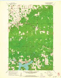
Editions of this 1961 Lake Nebagamon Map
2 editions found
Other maps of this area

1945 · Highland
USGS Topo · 1:48,000

1945 · Solon Springs
USGS Topo · 1:48,000

1947 · Brule
USGS Topo · 1:48,000

1949 · Solon Springs
USGS Topo · 1:48,000

1949 · Poplar
USGS Topo · 1:48,000

1949 · Highland
USGS Topo · 1:48,000

1953 · Ashland
USGS Topo · 1:250,000

1954 · Lake Nebagamon
USGS Topo · 1:24,000

1954 · Poplar NE
USGS Topo · 1:24,000

1954 · Poplar
USGS Topo · 1:24,000