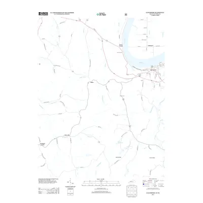
2013 Map of Cloverport
USGS Topo · Published 2013About this map
The Ohio River carves a sharp bend between Kentucky and Indiana, serving as the dominant geographic and economic feature of this river valley landscape. Along its southern bank, the town of Cloverport is mapped in detail, showing a grid of residential and commercial streets including Ferry Street and Front Street. Across the water lies Tobinsport, connected by proximity to the river-based trade that has long defined this region.
Find a feature on this map
78 named features on this map. Tap any name to fly to it.
Don’t see what you’re looking for? This feature index may not catch every label — zoom into the map to look around manually.
Map Details
Editions of this 2013 Cloverport Map
This is the sole edition of this map. No revisions or reprints were ever made.
Other maps of this area

1903 · Tell City
USGS Topo · 1:62,500

1907 · Whitesville
USGS Topo · 1:62,500

1909 · Whitesville
USGS Topo · 1:62,500

1932 · Fordsville
USGS Topo · 1:62,500

1934 · Cannelton
USGS Topo · 1:62,500

1949 · Cannelton
USGS Topo · 1:24,000

1953 · Cannelton
USGS Topo · 1:24,000

1953 · Cloverport
USGS Topo · 1:24,000

1953 · Whitesville
USGS Topo · 1:24,000

1953 · Tell City
USGS Topo · 1:24,000