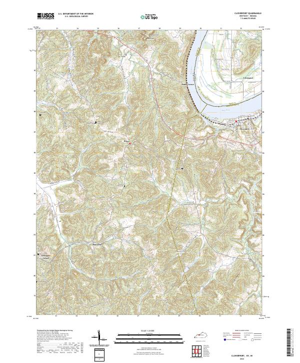
2022 Map of Cloverport
USGS Topo · Published 2022About this map
The Ohio River serves as the dominant boundary on this Kentucky-Indiana borderland, separating Cloverport and Tobinsport. The riverbank landscape is defined by its deep drainages like Faucett Gut and Clover Creek, which feed into the main waterway. Just inland, the terrain transitions into a dense network of ridges and hollows, including Mullens Ridge and Tuckers Ridge, punctuated by localized landmarks like Jeffry Cliff and Shafer Hill.
Find a feature on this map
89 named features on this map. Tap any name to fly to it.
Don’t see what you’re looking for? This feature index may not catch every label — zoom into the map to look around manually.
Map Details
Editions of this 2022 Cloverport Map
This is the sole edition of this map. No revisions or reprints were ever made.
Other maps of this area

1903 · Tell City
USGS Topo · 1:62,500

1907 · Whitesville
USGS Topo · 1:62,500

1909 · Whitesville
USGS Topo · 1:62,500

1932 · Fordsville
USGS Topo · 1:62,500

1934 · Cannelton
USGS Topo · 1:62,500

1949 · Cannelton
USGS Topo · 1:24,000

1953 · Cannelton
USGS Topo · 1:24,000

1953 · Cloverport
USGS Topo · 1:24,000

1953 · Whitesville
USGS Topo · 1:24,000

1953 · Tell City
USGS Topo · 1:24,000