2023 Map of Clovis
USGS Topo · Published 2023About this map
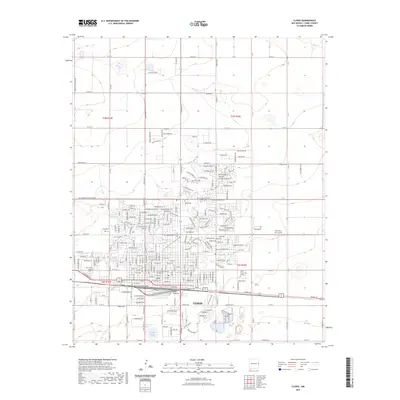
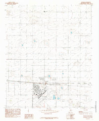
Clovis sits at the heart of the High Plains, serving as the commercial and administrative center of Curry County. This survey detail highlights the organized grid of the city, dominated by the East-West corridors of Mabry Dr and E Grand Ave, and the North-South spine of Prince Street. The central civic life is anchored by the Curry County Courthouse, while educational growth is evidenced by the campus of Clovis Community College to the east.
Find a feature on this map
34 named features on this map. Tap any name to fly to it.
Don’t see what you’re looking for? This feature index may not catch every label — zoom into the map to look around manually.
Map Details
Editions of this 2023 Clovis Map
This is the sole edition of this map. No revisions or reprints were ever made.
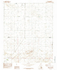
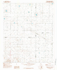
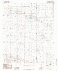
Other maps of this area

1954 · Clovis
USGS Topo · 1:250,000
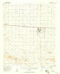
1957 · Portair
USGS Topo · 1:62,500
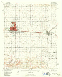
1957 · Clovis
USGS Topo · 1:62,500

1957 · Pleasant Hill
USGS Topo · 1:62,500
1957 · Hammond Ranch
USGS Topo · 1:62,500

1958 · Clovis
USGS Topo · 1:250,000
1985 · Portair
USGS Topo · 1:24,000
1985 · Midway
USGS Topo · 1:24,000
1985 · Pleasure Lake
USGS Topo · 1:24,000
1985 · Pleasant Hill
USGS Topo · 1:24,000