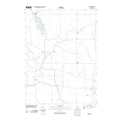
2010 Map of Clymer
USGS Topo · Published 2010About this map
French Creek winds through this southwestern corner of Chautauqua County, defining a landscape shaped by narrow valleys and upland farming communities. Near the New York and Pennsylvania border, the settlement of Clymer anchors the southeast, while the recreational waters of Findley Lake and the nearby Camp Findley occupy the northwest corner. The map reveals a high density of family and community history markers, including the Saint Matthias Cemetery, Marks Corners Cemetery, Taft Cemetery, and Holland Cemetery, which are distributed among small crossroads like Marvin and Morgan Corners. The drainage patterns of Cutting Brook and Beaver Meadow Brook showcase the rural hydrology that supported these late-century settlements, leading toward the distinct terrain of Lathrup Gulf. This survey is particularly useful for identifying the specific road network, such as County Touring Route 4 and Route 474, that connects these historic hamlets.
Find a feature on this map
54 named features on this map. Tap any name to fly to it.
Don’t see what you’re looking for? This feature index may not catch every label — zoom into the map to look around manually.
Map Details
Editions of this 2010 Clymer Map
This is the sole edition of this map. No revisions or reprints were ever made.
Other maps of this area

1905 · Clymer
USGS Topo · 1:62,500

1913 · North East
USGS Topo · 1:62,500

1915 · North East
USGS Topo · 1:62,500

1929 · Corry
USGS Topo · 1:48,000

1929 · Union City
USGS Topo · 1:62,500

1932 · Corry
USGS Topo · 1:62,500

1932 · Union City
USGS Topo · 1:62,500

1939 · Clymer
USGS Topo · 1:62,500

1941 · Clymer
USGS Topo · 1:62,500

1943 · North East
USGS Topo · 1:62,500