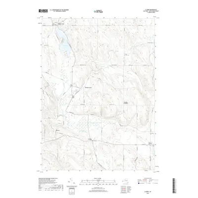
2019 Map of Clymer
USGS Topo · Published 2019About this map
Findley Lake serves as a prominent focal point in the northwestern corner of this Chautauqua County landscape, where the lakeside community is anchored by the Findley Lake Cem and several historic school sites. Moving southeast, the terrain is defined by the winding path of French Creek and its many tributaries, including Beaver Meadow Brook and Cutting Brook. This drainage system has historically shaped the placement of rural hamlets like French Creek and Marvin.
Find a feature on this map
66 named features on this map. Tap any name to fly to it.
Don’t see what you’re looking for? This feature index may not catch every label — zoom into the map to look around manually.
Map Details
Editions of this 2019 Clymer Map
This is the sole edition of this map. No revisions or reprints were ever made.
Other maps of this area

1905 · Clymer
USGS Topo · 1:62,500

1913 · North East
USGS Topo · 1:62,500

1915 · North East
USGS Topo · 1:62,500

1929 · Corry
USGS Topo · 1:48,000

1929 · Union City
USGS Topo · 1:62,500

1932 · Corry
USGS Topo · 1:62,500

1932 · Union City
USGS Topo · 1:62,500

1939 · Clymer
USGS Topo · 1:62,500

1941 · Clymer
USGS Topo · 1:62,500

1943 · North East
USGS Topo · 1:62,500