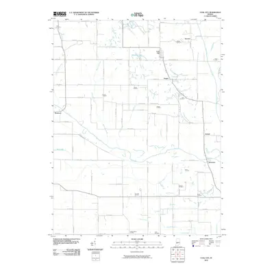
2010 Map of Coal City
USGS Topo · Published 2010About this map
Stockton and Coal City anchor this Owen County landscape, where the agricultural grid is deeply intertwined with a complex network of waterways. The Eel River snakes across the southern portion of the map, followed closely by the historic route of the Wabash and Erie Canal, a reminder of the region's 19th-century transportation legacy. The terrain is marked by numerous small settlements like Daggett, Hubbell, and Johnstown, many of which developed around the local road and water systems.
Find a feature on this map
85 named features on this map. Tap any name to fly to it.
Don’t see what you’re looking for? This feature index may not catch every label — zoom into the map to look around manually.
Map Details
Editions of this 2010 Coal City Map
This is the sole edition of this map. No revisions or reprints were ever made.
Other maps of this area

1908 · Clay City
USGS Topo · 1:48,000

1908 · Bloomfield
USGS Topo · 1:62,500

1910 · Clay City
USGS Topo · 1:62,500

1938 · Coal City
USGS Topo · 1:24,000

1938 · Switz City
USGS Topo · 1:24,000

1940 · Linton
USGS Topo · 1:24,000

1940 · Jasonville
USGS Topo · 1:24,000

1947 · Switz City
USGS Topo · 1:24,000

1947 · Linton
USGS Topo · 1:24,000

1948 · Coal City
USGS Topo · 1:24,000