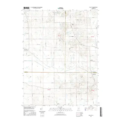
2016 Map of Coal City
USGS Topo · Published 2016About this map
The Eel River meanders across this landscape south of Coal City, marking the intersection of Clay, Owen, and Greene counties. This region preserves the trace of the Wabash and Erie Canal, a remnant of the early transportation infrastructure that once transformed the Indiana interior. To the west, the waterway passes near Muir Lake and Brunswick, while to the east it approaches the small settlement of Hubbell.
Find a feature on this map
106 named features on this map. Tap any name to fly to it.
Don’t see what you’re looking for? This feature index may not catch every label — zoom into the map to look around manually.
Map Details
Editions of this 2016 Coal City Map
This is the sole edition of this map. No revisions or reprints were ever made.
Other maps of this area

1908 · Clay City
USGS Topo · 1:48,000

1908 · Bloomfield
USGS Topo · 1:62,500

1910 · Clay City
USGS Topo · 1:62,500

1938 · Coal City
USGS Topo · 1:24,000

1938 · Switz City
USGS Topo · 1:24,000

1940 · Linton
USGS Topo · 1:24,000

1940 · Jasonville
USGS Topo · 1:24,000

1947 · Switz City
USGS Topo · 1:24,000

1947 · Linton
USGS Topo · 1:24,000

1948 · Coal City
USGS Topo · 1:24,000