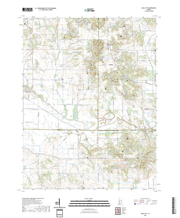
2022 Map of Coal City
USGS Topo · Published 2022About this map
Coal City sits at the northern end of this Indiana landscape, where the borders of Clay, Owen, and Greene counties meet. The terrain is defined by the winding course of the Eel River and the historical footprint of the Wabash and Erie Canal, which cuts across the central lowlands near Johnstown. The abundance of small family and community burial grounds, such as Scaffold Prairie Cem and Bullerman Cem, points to a long-established rural population and provides essential data points for genealogists. Waterways like White Oak Cr and Susan Brothers Cr drain the uplands, feeding into larger systems that supported early industry and transport. Smaller settlements like Daggett, Brunswick, and Hubbell are interspersed among the grid of county roads, illustrating the transition between the agricultural plains and the wooded drainages of Lick Creek and Pond Cr.
Find a feature on this map
77 named features on this map. Tap any name to fly to it.
Don’t see what you’re looking for? This feature index may not catch every label — zoom into the map to look around manually.
Map Details
Editions of this 2022 Coal City Map
This is the sole edition of this map. No revisions or reprints were ever made.
Historical Maps of Stockton Through Time
19 maps found

1938 Coal City
Owen County, IN

1948 Coal City
Owen County, IN
1949 Quincy
Owen County, IN
1950 Arney
Owen County, IN
1953 Coal City
Owen County, IN
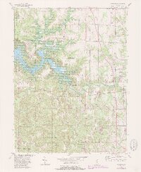
1956 Cataract
Owen County, IN
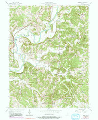
1956 Freedom
Owen County, IN
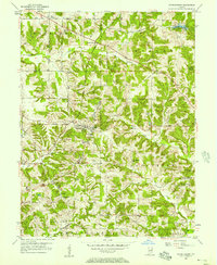
1956 Patricksburg
Owen County, IN
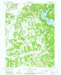
1957 Poland
Owen County, IN
1958 Quincy
Owen County, IN
1963 Coal City
Owen County, IN
1966 Arney
Owen County, IN
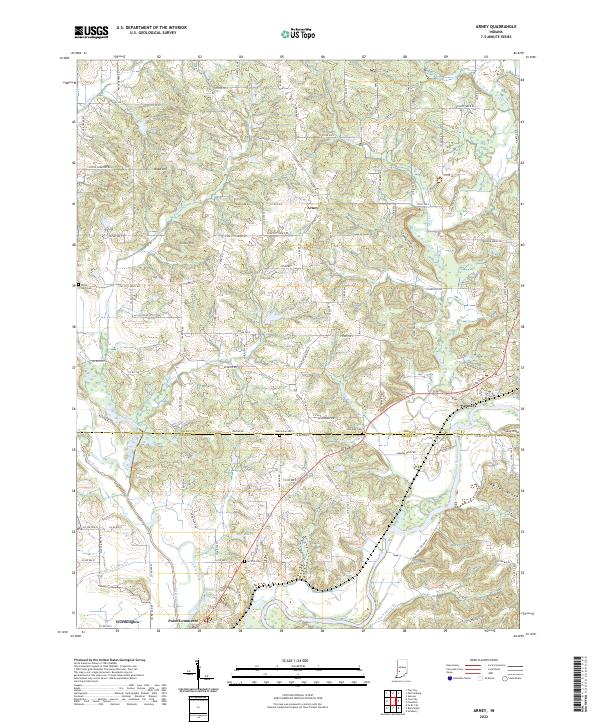
2022 Arney
Owen County, IN
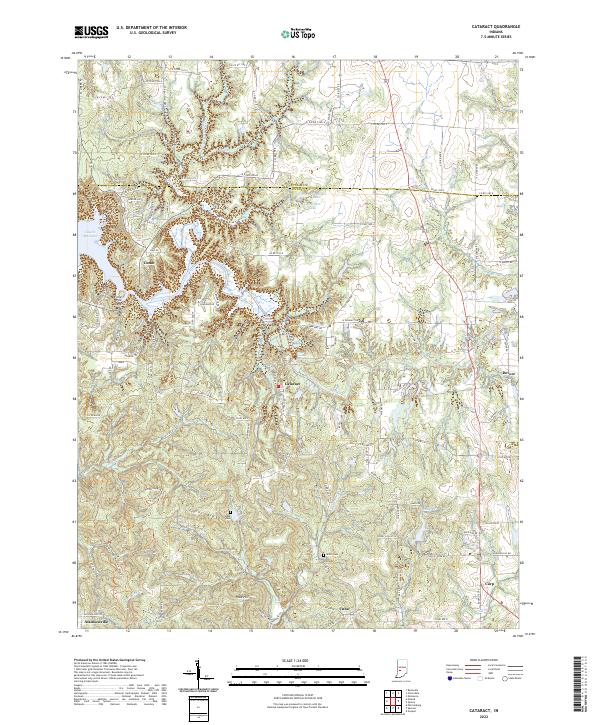
2022 Cataract
Owen County, IN
2022 Coal City
Owen County, IN
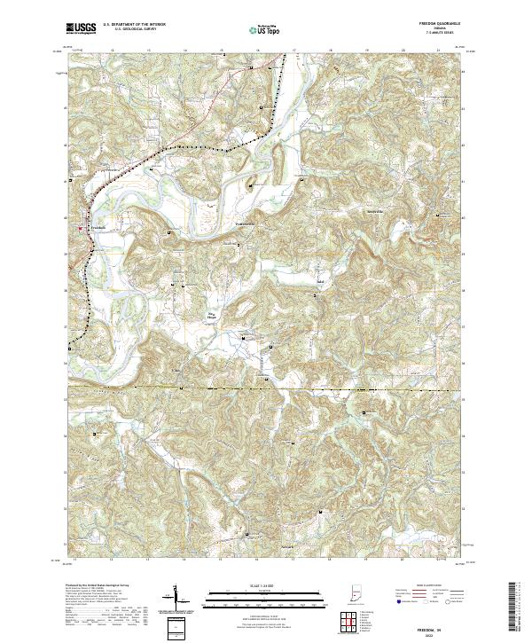
2022 Freedom
Owen County, IN
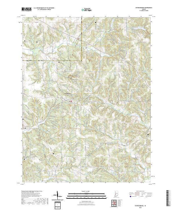
2022 Patricksburg
Owen County, IN
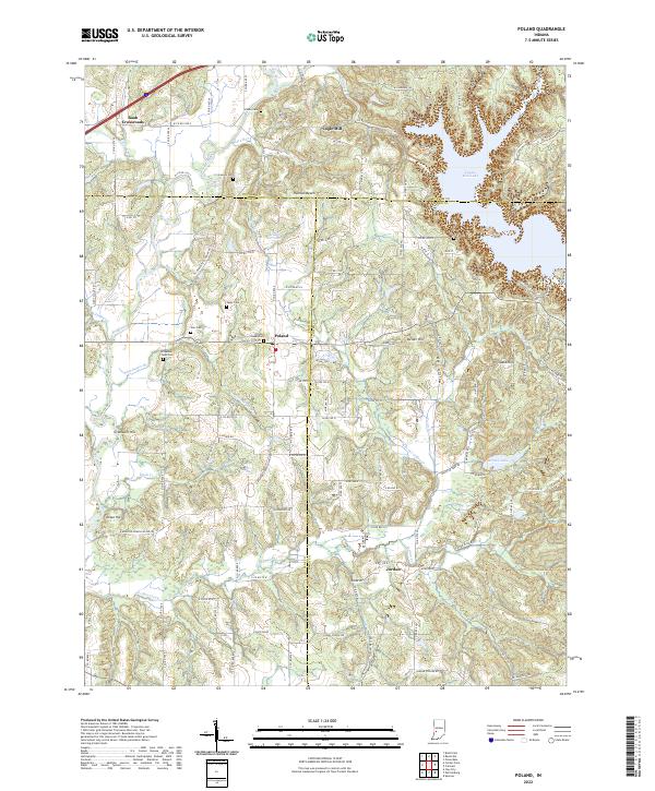
2022 Poland
Owen County, IN
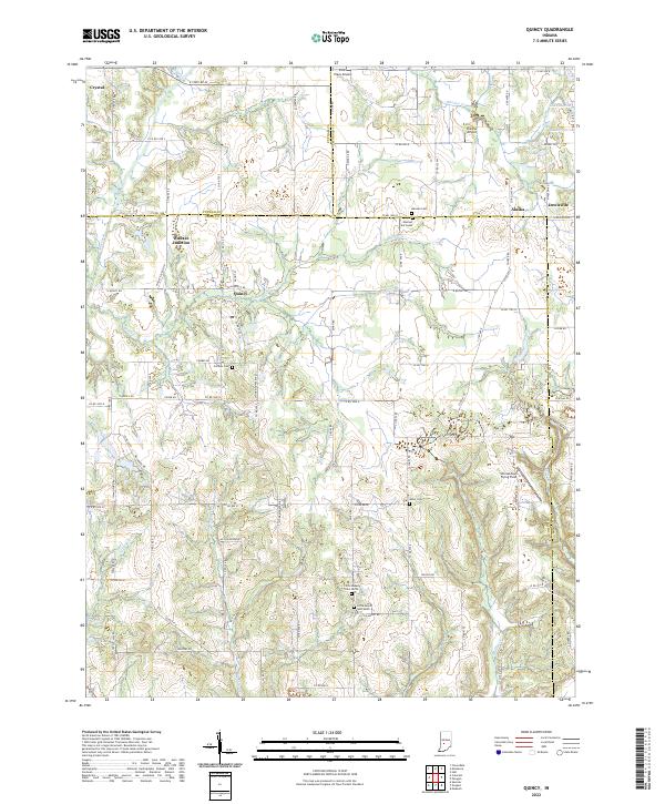
2022 Quincy
Owen County, IN