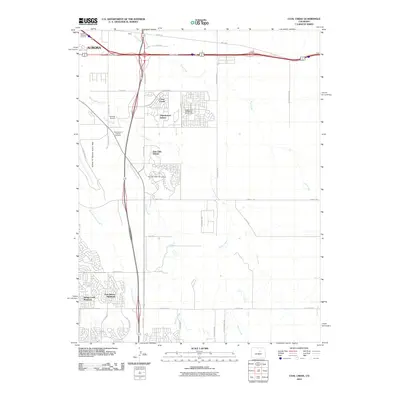
2010 Map of Coal Creek
USGS Topo · Published 2010About this map
The suburban expansion of Aurora is captured here as residential developments push into the high plains landscape. Planned communities like Cross Creek, Thunderbird Estates, and Gun Club Estates reveal the transition of former ranch or agricultural land into structured neighborhoods. This growth is anchored by significant infrastructure, including the Buckley Air National Guard Base and Simons Airport, which influenced the local land use and transportation corridors such as N Gun Club Rd.
Find a feature on this map
42 named features on this map. Tap any name to fly to it.
Don’t see what you’re looking for? This feature index may not catch every label — zoom into the map to look around manually.
Map Details
Editions of this 2010 Coal Creek Map
This is the sole edition of this map. No revisions or reprints were ever made.
Other maps of this area

1890 · East Denver
USGS Topo · 1:125,000

1935 · East Denver Nos. 3 and 4
USGS Topo · 1:48,000

1938 · Long Branch
USGS Topo · 1:24,000

1939 · Coal Creek
USGS Topo · 1:24,000

1940 · Piney Creek
USGS Topo · 1:24,000

1941 · Long Branch
USGS Topo · 1:31,680

1941 · Fitzsimons
USGS Topo · 1:31,680

1942 · Box Elder School
USGS Topo · 1:31,680

1942 · Parker
USGS Topo · 1:31,680

1942 · Piney Creek
USGS Topo · 1:31,680