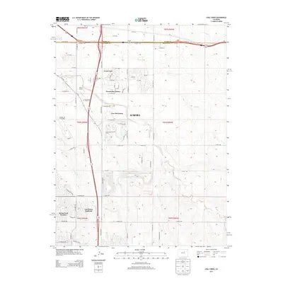
2013 Map of Coal Creek
USGS Topo · Published 2013About this map
Aurora is shown during a period of significant suburban expansion along the boundary of Adams and Arapahoe counties. This 2013 survey highlights the dense network of residential developments such as Gun Club Estates, Thunderbird Estates, and East Quincy Highlands as they push eastward into the high plains. The transition from industrial and military utility to modern community life is evident, with the expansive Buckley Air Force Base and Simons Airport situated near established local landmarks like the Saint Simeon Catholic Cem.
Find a feature on this map
45 named features on this map. Tap any name to fly to it.
Don’t see what you’re looking for? This feature index may not catch every label — zoom into the map to look around manually.
Map Details
Editions of this 2013 Coal Creek Map
This is the sole edition of this map. No revisions or reprints were ever made.
Other maps of this area

1890 · East Denver
USGS Topo · 1:125,000

1935 · East Denver Nos. 3 and 4
USGS Topo · 1:48,000

1938 · Long Branch
USGS Topo · 1:24,000

1939 · Coal Creek
USGS Topo · 1:24,000

1940 · Piney Creek
USGS Topo · 1:24,000

1941 · Long Branch
USGS Topo · 1:31,680

1941 · Fitzsimons
USGS Topo · 1:31,680

1942 · Box Elder School
USGS Topo · 1:31,680

1942 · Parker
USGS Topo · 1:31,680

1942 · Piney Creek
USGS Topo · 1:31,680