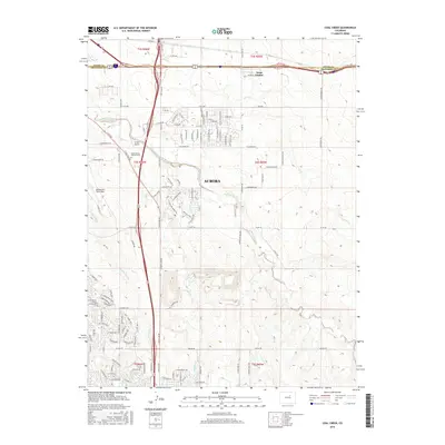
2016 Map of Coal Creek
USGS Topo · Published 2016About this map
Buckley Air Force Base occupies a significant portion of the western landscape in this 2016 survey, representing a key military anchor near the boundary of Adams Co and Arapahoe Co. The residential expansion of Aurora is evident through the dense network of streets and named avenues like E Colfax Ave and E Hampden Ave. Intersecting this modern development is an intricate drainage system including Coal Creek, Murphy Cr, and First Cr, which carve through the terrain and influence the layout of newer neighborhoods like Aetna Estates. Local history is captured in the location of the Saint Simeon Catholic Cem and the small Simons Airport, providing a detailed view of the infrastructure and land use in this suburban-military corridor during the mid-2010s.
Find a feature on this map
114 named features on this map. Tap any name to fly to it.
Don’t see what you’re looking for? This feature index may not catch every label — zoom into the map to look around manually.
Map Details
Editions of this 2016 Coal Creek Map
This is the sole edition of this map. No revisions or reprints were ever made.
Other maps of this area

1890 · East Denver
USGS Topo · 1:125,000

1935 · East Denver Nos. 3 and 4
USGS Topo · 1:48,000

1938 · Long Branch
USGS Topo · 1:24,000

1939 · Coal Creek
USGS Topo · 1:24,000

1940 · Piney Creek
USGS Topo · 1:24,000

1941 · Long Branch
USGS Topo · 1:31,680

1941 · Fitzsimons
USGS Topo · 1:31,680

1942 · Box Elder School
USGS Topo · 1:31,680

1942 · Parker
USGS Topo · 1:31,680

1942 · Piney Creek
USGS Topo · 1:31,680