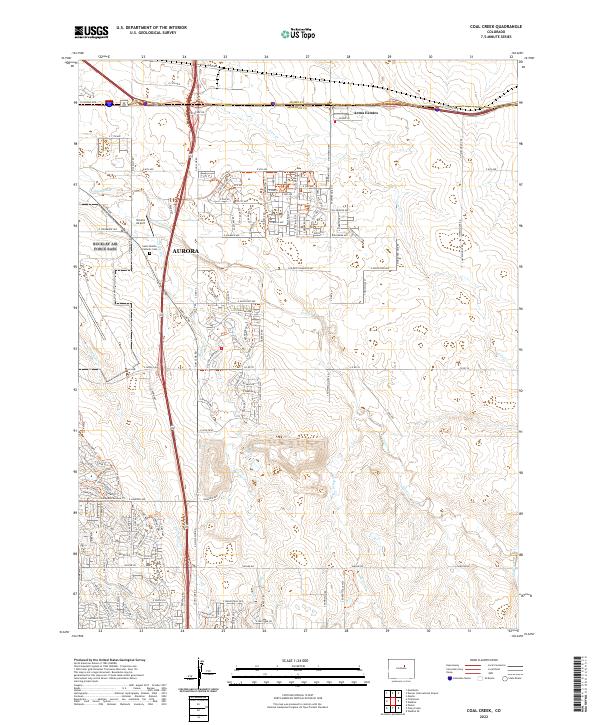
2022 Map of Coal Creek
USGS Topo · Published 2022About this map
Aurora sprawls across the western edge of this landscape, marking the transition from the modern urban expansion of the Denver metropolitan area to the open drainages of the eastern plains. The map records a complex network of residential developments and thoroughfares, such as E 6th Ave and E Colfax Ave, which intersect with the natural path of Sand Creek. This confluence of infrastructure and hydrology highlights the rapid suburbanization of Adams Co and Arapahoe Co in the early 21st century.
Find a feature on this map
57 named features on this map. Tap any name to fly to it.
Don’t see what you’re looking for? This feature index may not catch every label — zoom into the map to look around manually.
Map Details
Editions of this 2022 Coal Creek Map
This is the sole edition of this map. No revisions or reprints were ever made.
Other maps of this area

1890 · East Denver
USGS Topo · 1:125,000

1935 · East Denver Nos. 3 and 4
USGS Topo · 1:48,000

1938 · Long Branch
USGS Topo · 1:24,000

1939 · Coal Creek
USGS Topo · 1:24,000

1940 · Piney Creek
USGS Topo · 1:24,000

1941 · Long Branch
USGS Topo · 1:31,680

1941 · Fitzsimons
USGS Topo · 1:31,680

1942 · Box Elder School
USGS Topo · 1:31,680

1942 · Parker
USGS Topo · 1:31,680

1942 · Piney Creek
USGS Topo · 1:31,680