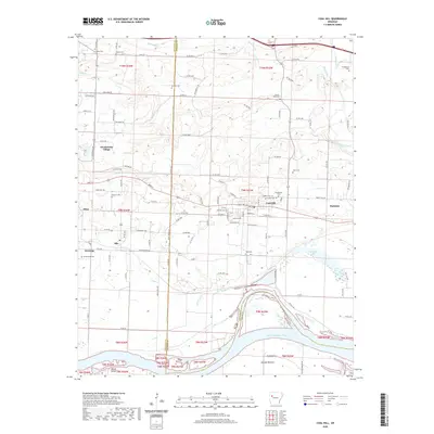
2020 Map of Coal Hill
USGS Topo · Published 2020About this map
Coal Hill serves as a central hub on this 2020 landscape, situated between the communities of Hartman and Altus in the Arkansas River Valley. The map documents a dense network of family and community history through its numerous burial sites, ranging from the Possum Walk Cem in the north to the West Cem and Coal Hill Cem near the town center. The northern terrain is defined by the drainages of McKinney Cr and Dirty Creek, while the southern portion transitions into the fertile flats of the McLean Bottom near the Arkansas River. The inclusion of Wiederkehr Village and Alix illustrates the persistent rural settlement patterns that have shaped this portion of Johnson and Franklin Counties. This recent survey captures the modern road network, such as Co Rd 2070 and Co Rd 517, which connect these historic mining and agricultural communities.
Find a feature on this map
121 named features on this map. Tap any name to fly to it.
Don’t see what you’re looking for? This feature index may not catch every label — zoom into the map to look around manually.
Map Details
Editions of this 2020 Coal Hill Map
This is the sole edition of this map. No revisions or reprints were ever made.
Other maps of this area

1879 · Cravens
USGS Topo · 1:62,500

1887 · Magazine Mountain #1
USGS Topo · 1:62,500

1887 · Magazine Mountain #2
USGS Topo · 1:62,500

1887 · Watalula
USGS Topo · 1:62,500

1887 · Magazine Mountain
USGS Topo · 1:62,500

1890 · Magazine Mountain
USGS Topo · 1:125,000

1906 · Batson
USGS Topo · 1:62,500

1939 · Watalula
USGS Topo · 1:62,500

1956 · Russellville
USGS Topo · 1:250,000

1961 · Coal Hill
USGS Topo · 1:24,000