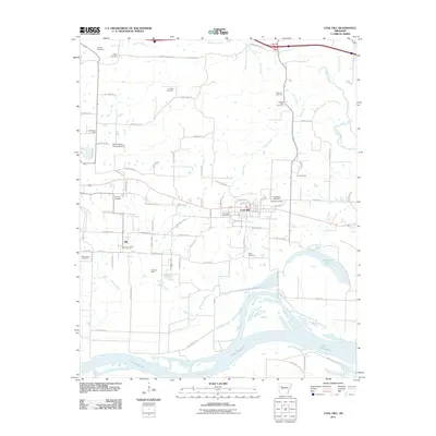
2024 Map of Coal Hill
USGS Topo · Published 2024About this map
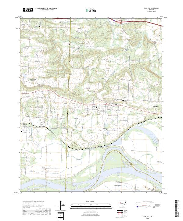
Coal Hill and the surrounding Arkansas River valley communities of Denning, Alix, and Hartman are documented in this contemporary survey, revealing a landscape defined by its riparian geometry and long-standing rural hubs. The southern edge is dominated by the broad course of the Arkansas River and Lake Dardanelle, where features like McLean Bottom and Okane Island highlight the low-lying terrain of the floodplain. North of the river, the topographic relief increases toward Wiederkehr Village, where W Vineyard Dr and S Champagne Dr suggest the area's specialized agricultural character.
Find a feature on this map
124 named features on this map. Tap any name to fly to it.
Don’t see what you’re looking for? This feature index may not catch every label — zoom into the map to look around manually.
Map Details
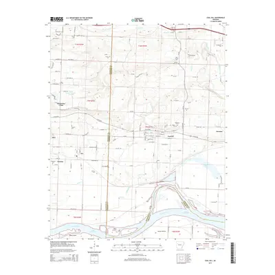
Editions of this 2024 Coal Hill Map
This is the sole edition of this map. No revisions or reprints were ever made.
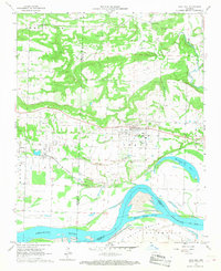
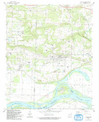
Historical Maps of Coal Hill Through Time
7 maps found