Loading...
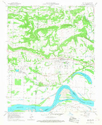
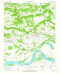
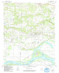
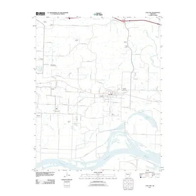
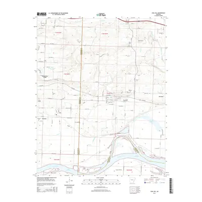
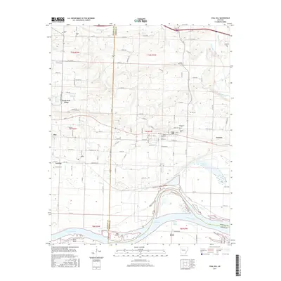
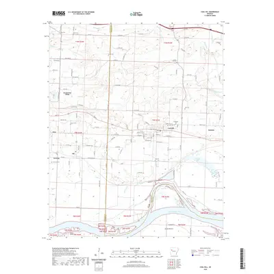
Loading map...1961 Map of Coal Hill
USGS Topo · Published 1968About this map
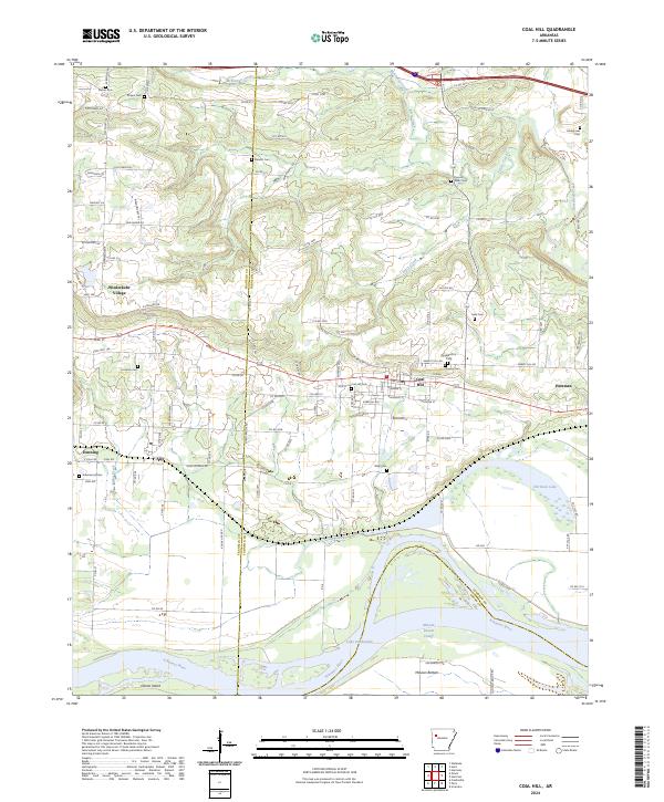
Industrial activity and the Arkansas River define the landscape of Johnson and Franklin Counties during the early 1960s. Extensive Strip Mine operations and a Mine Dump surround the established communities of Coal Hill and Hartman, reflecting the region's historical reliance on coal extraction. These mines are concentrated south of the towns, bordering the Missouri and Pacific railroad corridor that facilitated transport through the river valley.
Find a feature on this map
51 named features on this map. Tap any name to fly to it.
Don’t see what you’re looking for? This feature index may not catch every label — zoom into the map to look around manually.
Map Details
Date Portrayed1961
Date Published1968
PublisherU.S. Geological Survey
Map TypeTopographic
Scale1:24,000
Physical Dimensions22.1 x 27 inches
Editions of this 1961 Coal Hill Map
2 editions found
Historical Maps of Coal Hill Through Time
7 maps found
Featured Locations
Source Details
SourceU.S. Geological Survey
CopyrightPublic Domain