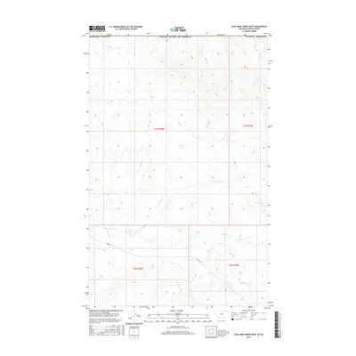
2017 Map of Coal Mine Creek West
USGS Topo · Published 2017About this map
Coal Mine Cr winds through this expanse of Valley County, offering a detailed view of the drainage patterns and land divisions in the northeastern corner of the state near the Canadian border. The landscape is defined by the headwaters of several drainages, including N Fork South Cr and South Cr, which cut through the high plains. The presence of Theony Rd provides one of the few named transport corridors through the region, connecting the scattered sections of the Public Land Survey System such as t37n r38e and t36n r39e. This 2017 survey reflects the modern rural character of the Big Sky Country, where water sources like Morgan Cr remain central to the geography of the high Montana prairie.
Find a feature on this map
12 named features on this map. Tap any name to fly to it.
Don’t see what you’re looking for? This feature index may not catch every label — zoom into the map to look around manually.
Map Details
Editions of this 2017 Coal Mine Creek West Map
This is the sole edition of this map. No revisions or reprints were ever made.
Other maps of this area

1919 · Boundary
USGS Topo · 1:125,000

1954 · Glasgow
USGS Topo · 1:250,000

1957 · Glasgow
USGS Topo · 1:250,000

1958 · Glasgow
USGS Topo · 1:250,000

1984 · O'Juel Lake
USGS Topo · 1:24,000

1984 · Lighthouse Hill
USGS Topo · 1:24,000

1984 · Opheim
USGS Topo · 1:100,000

1984 · Dodge Reservoir
USGS Topo · 1:24,000

1984 · Last Chance Reservoir
USGS Topo · 1:24,000
1984 · Coal Mine Creek East
USGS Topo · 1:24,000