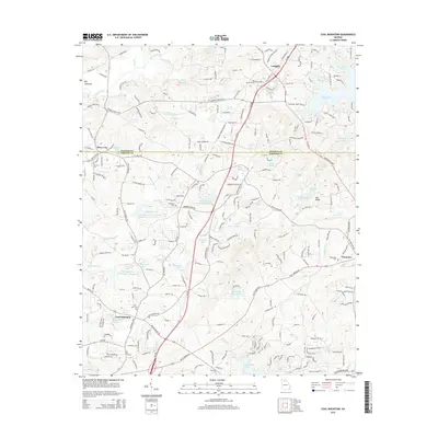
2014 Map of Coal Mountain
USGS Topo · Published 2014About this map
Coal Mountain and the surrounding upper Piedmont landscape are documented here during a period of significant suburban transition. The map details a complex water management system comprising numerous numbered reservoirs, such as Settingdown Reservoir Number 56 and Reservoir Four, which feed into the Settingdown Creek watershed. These man-made features sit alongside older natural landmarks like the Etowah River and Big Savannah.
Find a feature on this map
210 named features on this map. Tap any name to fly to it.
Don’t see what you’re looking for? This feature index may not catch every label — zoom into the map to look around manually.
Map Details
Editions of this 2014 Coal Mountain Map
This is the sole edition of this map. No revisions or reprints were ever made.
Other maps of this area

1890 · Suwanee
USGS Topo · 1:125,000

1891 · Gainesville
USGS Topo · 1:125,000

1894 · Suwanee
USGS Topo · 1:125,000

1954 · Greenville
USGS Topo · 1:250,000

1955 · Rome
USGS Topo · 1:250,000

1958 · Greenville
USGS Topo · 1:250,000

1958 · Rome
USGS Topo · 1:250,000

1961 · Rome
USGS Topo · 1:250,000

1963 · Rome
USGS Topo · 1:250,000

1964 · Murrayville
USGS Topo · 1:24,000