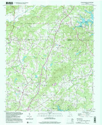
1997 Map of Coal Mountain
USGS Topo · Published 2000About this map
Lake Sidney Lanier dominates the northeastern and southern edges of this area, showing the fingers of the reservoir reaching into the Georgia landscape near the border of Dawson and Forsyth counties. The topography reveals a transition from the Etowah River valley in the northwest to the higher elevations of Taylor Ridge. A network of country roads, such as Pilgrim Mill Road and Burruss Mill Road, suggests the area's history of local industry and milling along the numerous creeks like Settingdown Creek and Twomile Creek.
Find a feature on this map
49 named features on this map. Tap any name to fly to it.
Don’t see what you’re looking for? This feature index may not catch every label — zoom into the map to look around manually.
Map Details
Editions of this 1997 Coal Mountain Map
This is the sole edition of this map. No revisions or reprints were ever made.
Other maps of this area

1890 · Suwanee
USGS Topo · 1:125,000

1891 · Gainesville
USGS Topo · 1:125,000

1894 · Suwanee
USGS Topo · 1:125,000

1954 · Greenville
USGS Topo · 1:250,000

1955 · Rome
USGS Topo · 1:250,000

1958 · Greenville
USGS Topo · 1:250,000

1958 · Rome
USGS Topo · 1:250,000

1961 · Rome
USGS Topo · 1:250,000

1963 · Rome
USGS Topo · 1:250,000

1964 · Murrayville
USGS Topo · 1:24,000