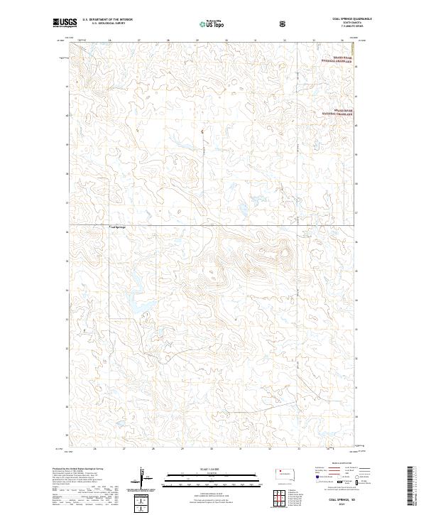
2021 Map of Coal Springs
USGS Topo · Published 2021About this map
Coal Springs sits at the heart of this high-plains landscape in Perkins County, where the terrain is defined by the drainage patterns of several seasonal watercourses. The northeastern corner of the map features a portion of the Grand River National Grassland, highlighting the public lands that characterize this part of South Dakota. The drainage network includes Darling Cr in the northwest, while Line Cr and Little Cr traverse the central and eastern sections, carving subtle relief into the prairie. The grid of rural transit is established by the intersection of 131st St, 198th Ave, and 200th Ave, providing a clear record of the area's survey-based road system as it appeared during this recent U.S. Geological Survey update.
Find a feature on this map
15 named features on this map. Tap any name to fly to it.
Don’t see what you’re looking for? This feature index may not catch every label — zoom into the map to look around manually.
Map Details
Editions of this 2021 Coal Springs Map
This is the sole edition of this map. No revisions or reprints were ever made.
Other maps of this area

1953 · McIntosh
USGS Topo · 1:250,000

1954 · Lemmon
USGS Topo · 1:250,000

1957 · Lemmon
USGS Topo · 1:250,000

1958 · McIntosh
USGS Topo · 1:250,000

1972 · Black Horse Butte
USGS Topo · 1:24,000

1980 · McIntosh
USGS Topo · 1:100,000

1982 · Glad Valley SW
USGS Topo · 1:24,000

1982 · Glad Valley NW
USGS Topo · 1:24,000

1983 · Coal Springs
USGS Topo · 1:24,000

1983 · Meadow
USGS Topo · 1:24,000