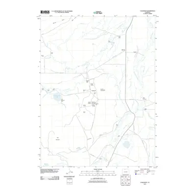
2010 Map of Coalmont
USGS Topo · Published 2010About this map
Coalmont and Hebron stand as central hubs in this high-altitude landscape of Jackson County, defined by a complex network of resource extraction and ranching. The extraction of coal is the primary industrial footprint, evidenced by a dense concentration of workings such as the Rosebud Number One Mine, Coalfire Mine, and the North Park Coal Company Strip Mine. This industrial activity is woven directly into a landscape of traditional western ranching, with established operations like the Wamsley Cattle Ranch and Trownsell Ranch following the watercourses of Little Grizzly Creek and Grizzly Creek.
Find a feature on this map
68 named features on this map. Tap any name to fly to it.
Don’t see what you’re looking for? This feature index may not catch every label — zoom into the map to look around manually.
Map Details
Editions of this 2010 Coalmont Map
This is the sole edition of this map. No revisions or reprints were ever made.
Other maps of this area

1911 · Hahns Peak
USGS Topo · 1:125,000

1913 · Hahns Peak
USGS Topo · 1:125,000

1954 · Craig
USGS Topo · 1:250,000

1955 · Pitchpine Mountain
USGS Topo · 1:24,000

1955 · Teal Lake
USGS Topo · 1:24,000

1955 · Delaney Butte
USGS Topo · 1:24,000

1955 · Coalmont
USGS Topo · 1:24,000

1955 · Walden
USGS Topo · 1:24,000

1955 · Mac Farlane Reservoir
USGS Topo · 1:24,000

1955 · Mount Ethel
USGS Topo · 1:62,500