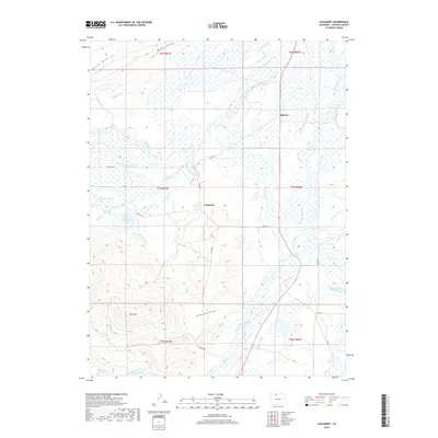
2019 Map of Coalmont
USGS Topo · Published 2019About this map
Coalmont and Hebron anchor this North Park landscape, where the high-altitude terrain is defined by a sophisticated network of irrigation and water management. The map reveals an intricate system of ditches—such as Darby Ditch, Little Grizzly Ditch, and Marr Ditch Number 1—that divert water from sources like Little Grizzly Cr to support the local ranching economy. This reliance on water rights is further evidenced by several high-country catchments including Petry Lake, Fuller Reservoir, and Mexican Reservoir. To the southwest, the prominence of Pole Mtn and Pole Mountain Lake marks the transition from the flatter valley floors toward the surrounding ridges. The survey captures a region where the geography of the land is fundamentally shaped by the flow of water through engineered channels like the Mutual Ditch and Spicer Ditch, illustrating how human infrastructure integrates with the natural drainage of the Jackson County basin.
Find a feature on this map
51 named features on this map. Tap any name to fly to it.
Don’t see what you’re looking for? This feature index may not catch every label — zoom into the map to look around manually.
Map Details
Editions of this 2019 Coalmont Map
This is the sole edition of this map. No revisions or reprints were ever made.
Other maps of this area

1911 · Hahns Peak
USGS Topo · 1:125,000

1913 · Hahns Peak
USGS Topo · 1:125,000

1954 · Craig
USGS Topo · 1:250,000

1955 · Pitchpine Mountain
USGS Topo · 1:24,000

1955 · Teal Lake
USGS Topo · 1:24,000

1955 · Delaney Butte
USGS Topo · 1:24,000

1955 · Coalmont
USGS Topo · 1:24,000

1955 · Walden
USGS Topo · 1:24,000

1955 · Mac Farlane Reservoir
USGS Topo · 1:24,000

1955 · Mount Ethel
USGS Topo · 1:62,500