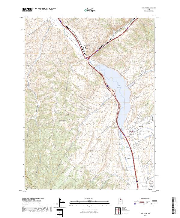
2023 Map of Coalville
USGS Topo · Published 2023About this map
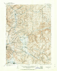
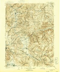
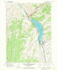
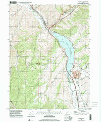
Coalville and its neighboring valley settlements anchor this modern survey of the Wasatch Range foothills. The landscape is defined by the impounded waters of the Echo Reservoir and the winding course of the Weber River, which flows through the Henefer Valley. These water resources supported the development of early agriculture and industry, evidenced by the Big Robinson Ditch and the legacy of the former railroad line, now preserved as the Rail Trl. Genealogists will find significant value in the documentation of three distinct burial grounds: Echo Historical Cem, Coalville Cem, and Hoytsville Cem. The map also details many family-named geographic features, such as Tom Harris Hollow and Bromleys Canyon, alongside prominent geological landmarks like the Witch Rocks.
Find a feature on this map
57 named features on this map. Tap any name to fly to it.
Don’t see what you’re looking for? This feature index may not catch every label — zoom into the map to look around manually.
Map Details
Editions of this 2023 Coalville Map
This is the sole edition of this map. No revisions or reprints were ever made.
Historical Maps of Morgan County Through Time
5 maps found