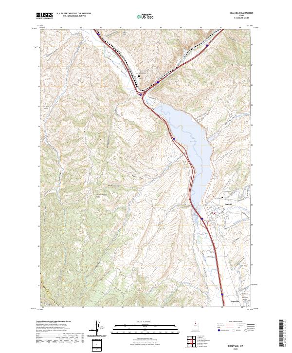
1997 Map of Coalville
USGS Topo · Published 2001About this map
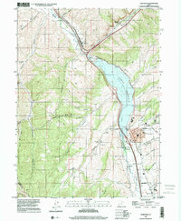
Coalville serves as the regional hub in this 1990s landscape, situated where the waters of Chalk Creek meet the Weber River. The town's layout is defined by its civic and industrial infrastructure, featuring the Rodeo Grounds, a Substation, and a local Cem on its eastern edge. Following the river corridor, the Union Pacific Railroad parallels the shoreline of the expansive Echo Reservoir, which dominates the central topography and provides a vital water resource for the surrounding valley.
Find a feature on this map
38 named features on this map. Tap any name to fly to it.
Don’t see what you’re looking for? This feature index may not catch every label — zoom into the map to look around manually.
Map Details
Editions of this 1997 Coalville Map
This is the sole edition of this map. No revisions or reprints were ever made.
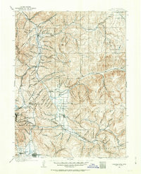
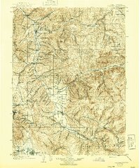
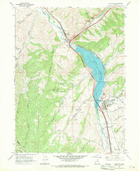
Historical Maps of Coalville Through Time
5 maps found