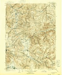
1903 Map of Coalville
USGS Topo · Published 1944About this map
The Weber River valley serves as the central artery for this mountainous region, connecting the agricultural lands of Heber and Kamas with the mining and transportation hubs to the north. Settlement patterns follow the river and its tributaries, with Coalville established near the confluence of Echo Creek and Chalk Creek, anchored by the presence of the Union Pacific R. R. as it winds through Echo Canyon. This corridor highlights the transition from high-altitude ranching at places like Rigbys Ranch to industrial centers like Park City.
Find a feature on this map
106 named features on this map. Tap any name to fly to it.
Don’t see what you’re looking for? This feature index may not catch every label — zoom into the map to look around manually.
Map Details
Editions of this 1903 Coalville Map
2 editions found
Other maps of this area

1885 · Salt Lake
USGS Topo · 1:250,000

1885 · Uinta
USGS Topo · 1:250,000

1900 · Coalville
USGS Topo · 1:125,000

1901 · Hayden Peak
USGS Topo · 1:125,000

1903 · Hayden Peak
USGS Topo · 1:125,000

1903 · Coalville
USGS Topo · 1:125,000

1907 · Strawberry Valley
USGS Topo · 1:125,000

1909 · Strawberry Valley
USGS Topo · 1:125,000

1925 · Ft. Douglas
USGS Topo · 1:125,000

1928 · Ft. Douglas
USGS Topo · 1:125,000