
1973 Map of Coalwood
USGS Topo · Published 1976About this map
Coalwood sits at the northern end of this 1970s survey, a small settlement located in the wide-open landscape of Powder River County. The area is defined by a complex drainage system, where intermittent waterways like Hay Creek, Mud Spring Creek, and Lost Soldier Creek carve through the high plains. The presence of the North Star Mine and several scattered Gravel Pits points to the region's extraction history, while the Janssen Landing Strip suggests the necessity of light aircraft for navigating these expansive rangelands.
Find a feature on this map
13 named features on this map. Tap any name to fly to it.
Don’t see what you’re looking for? This feature index may not catch every label — zoom into the map to look around manually.
Map Details
Editions of this 1973 Coalwood Map
This is the sole edition of this map. No revisions or reprints were ever made.
Other maps of this area

1954 · Ekalaka
USGS Topo · 1:250,000

1956 · Ekalaka
USGS Topo · 1:250,000

1958 · Ekalaka
USGS Topo · 1:250,000

1965 · Ekalaka
USGS Topo · 1:250,000

1973 · Olive
USGS Topo · 1:24,000
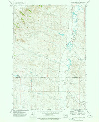
1973 · Witcher Reservoir
USGS Topo · 1:24,000

1973 · Moonlight Creek
USGS Topo · 1:24,000

1973 · Box Elder Creek
USGS Topo · 1:24,000
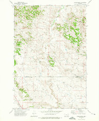
1973 · Divide School
USGS Topo · 1:24,000
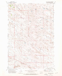
1973 · Leslie Creek
USGS Topo · 1:24,000