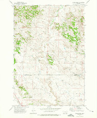
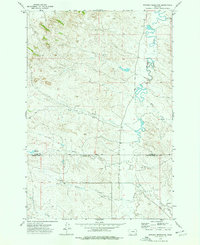
1973 Map of Divide School
USGS Topo · Published 1976About this map
Divide School sits at the intersection of local history in the high plains of eastern Montana, where the boundaries of Custer County and Powder River County meet along the east-west Base Line. This early 1970s landscape is defined by its drainage systems, with Sand Creek and Deer Creek cutting through the terrain alongside numerous unnamed springs and wells. The area represents a sparsely populated ranching and resource-extractive environment, marked by isolated landmarks like a Gravel Pit and a Gas Well. The presence of the schoolhouse at such a remote junction suggests its role as a vital community hub for the surrounding homesteads and families scattered across the rugged sections of the R 49 E and R 50 E ranges.
Find a feature on this map
14 named features on this map. Tap any name to fly to it.
Don’t see what you’re looking for? This feature index may not catch every label — zoom into the map to look around manually.
Map Details
Editions of this 1973 Divide School Map
This is the sole edition of this map. No revisions or reprints were ever made.
Other maps of this area

1954 · Ekalaka
USGS Topo · 1:250,000

1956 · Ekalaka
USGS Topo · 1:250,000

1958 · Ekalaka
USGS Topo · 1:250,000

1965 · Ekalaka
USGS Topo · 1:250,000
1973 · Harris Buttes
USGS Topo · 1:24,000
1973 · Saddle Horse Butte
USGS Topo · 1:24,000
1973 · Kirkpatrick Hill
USGS Topo · 1:24,000
1973 · Witcher Reservoir
USGS Topo · 1:24,000

1973 · Box Elder Creek
USGS Topo · 1:24,000

1973 · Coalwood
USGS Topo · 1:24,000