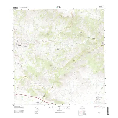
2024 Map of Coamo
USGS Topo · Published 2024About this map
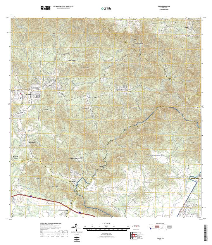
The mountain town of Coamo serves as the central hub of this modern survey, where the urban street grid meets the dramatic foothills of the Cordillera Central. Civil life is anchored by landmarks like the Tribunal de Coamo and the Cementerio Municipal de Coamo, while the renowned Baños de Coamo marks the area's geological and cultural significance along the Rio Coamo. The landscape is defined by its diverse terrain, transitioning from the residential density of Las Flores to the expansive military training grounds of NG MTA Camp Santiago in the southeast.
Find a feature on this map
57 named features on this map. Tap any name to fly to it.
Don’t see what you’re looking for? This feature index may not catch every label — zoom into the map to look around manually.
Map Details
Editions of this 2024 Coamo Map
This is the sole edition of this map. No revisions or reprints were ever made.
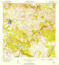
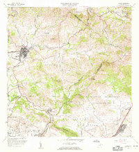
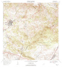
Historical Maps of Coamo Through Time
7 maps found