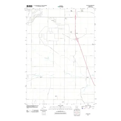
2010 Map of Coates
USGS Topo · Published 2010About this map
Vermillion River and the South Branch Vermillion River meander through this section of Dakota County, defining the drainage patterns south of the Twin Cities metropolitan area. In 2010, the landscape is a grid of agricultural fields and developing corridors centered on Coates and the settlement of Empire. This area reflects a mid-century reliance on private aviation, evidenced by multiple small airstrips including Turkey Track Airport, Stegmaier Airport, and Sowieja Airport scattered among the farmsteads.
Find a feature on this map
55 named features on this map. Tap any name to fly to it.
Don’t see what you’re looking for? This feature index may not catch every label — zoom into the map to look around manually.
Map Details
Editions of this 2010 Coates Map
This is the sole edition of this map. No revisions or reprints were ever made.
Other maps of this area

1896 · St. Paul
USGS Topo · 1:62,500

1946 · Hudson
USGS Topo · 1:62,500

1949 · Hudson
USGS Topo · 1:62,500

1950 · St Paul Park
USGS Topo · 1:24,000

1951 · St Paul Park
USGS Topo · 1:24,000

1951 · Inver Grove
USGS Topo · 1:24,000

1951 · St. Paul SW
USGS Topo · 1:24,000

1951 · St. Paul
USGS Topo · 1:62,500

1953 · Saint Paul
USGS Topo · 1:250,000

1957 · Farmington
USGS Topo · 1:62,500