
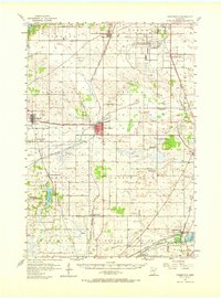
1957 Map of Farmington
USGS Topo · Published 1958About this map
The University of Minnesota Rosemount Research Center and the Southport Landing Field occupy a prominent portion of this Dakota County landscape during the late 1950s. The region is characterized by a dense network of railroads, including the Chicago Milwaukee St Paul and Pacific and the Chicago and Northwestern, which connect established agricultural hubs like Farmington and Rosemount. Local life is anchored by traditional landmarks such as the County Fairground and numerous country churches, including Christiania Ch and Eureka Center Ch.
Find a feature on this map
55 named features on this map. Tap any name to fly to it.
Don’t see what you’re looking for? This feature index may not catch every label — zoom into the map to look around manually.
Map Details
Editions of this 1957 Farmington Map
2 editions found
Other maps of this area

1896 · Minneapolis
USGS Topo · 1:62,500

1896 · St. Paul
USGS Topo · 1:62,500

1901 · Minneapolis
USGS Topo · 1:62,500

1946 · Hudson
USGS Topo · 1:62,500

1949 · Hudson
USGS Topo · 1:62,500

1950 · St Paul Park
USGS Topo · 1:24,000

1951 · St Paul Park
USGS Topo · 1:24,000

1951 · Inver Grove
USGS Topo · 1:24,000

1951 · St. Paul SW
USGS Topo · 1:24,000

1951 · St. Paul
USGS Topo · 1:62,500