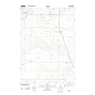
2013 Map of Coates
USGS Topo · Published 2013About this map
Dakota County Technical Coll stands as a central landmark in this 2013 survey of the landscape south of Rosemont. The area is defined by a transition from the developing residential and educational outskirts of the city to the more open township lands of Empire and the rural community of Coates. A network of historic burial grounds, including Saint Joseph Cem and Saint John's Cem, provides a valuable resource for genealogists mapping the early settlers of this portion of Dakota County.
Find a feature on this map
68 named features on this map. Tap any name to fly to it.
Don’t see what you’re looking for? This feature index may not catch every label — zoom into the map to look around manually.
Map Details
Editions of this 2013 Coates Map
This is the sole edition of this map. No revisions or reprints were ever made.
Other maps of this area

1896 · St. Paul
USGS Topo · 1:62,500

1946 · Hudson
USGS Topo · 1:62,500

1949 · Hudson
USGS Topo · 1:62,500

1950 · St Paul Park
USGS Topo · 1:24,000

1951 · St Paul Park
USGS Topo · 1:24,000

1951 · Inver Grove
USGS Topo · 1:24,000

1951 · St. Paul SW
USGS Topo · 1:24,000

1951 · St. Paul
USGS Topo · 1:62,500

1953 · Saint Paul
USGS Topo · 1:250,000

1957 · Farmington
USGS Topo · 1:62,500