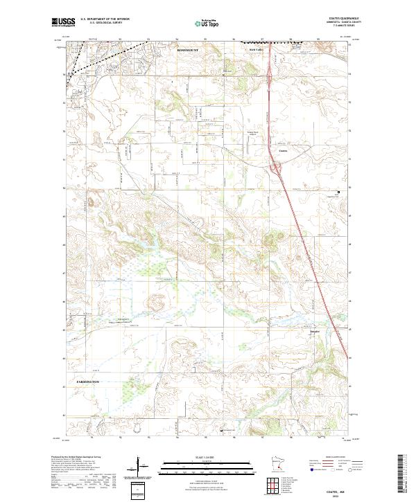
2022 Map of Coates
USGS Topo · Published 2022About this map
Rosemount and Farmington anchor this Dakota County landscape, where suburban expansion meets the agricultural legacy of the Vermillion River valley. The map details the transition from rural townships to organized settlements, particularly evident in the small communities of Empire and Coates. A strong grid of county roads, such as Co RD 42 and Co RD 46, bisects the terrain, illustrating the modern infrastructure that connects these historical hubs.
Find a feature on this map
94 named features on this map. Tap any name to fly to it.
Don’t see what you’re looking for? This feature index may not catch every label — zoom into the map to look around manually.
Map Details
Editions of this 2022 Coates Map
This is the sole edition of this map. No revisions or reprints were ever made.
Other maps of this area

1896 · St. Paul
USGS Topo · 1:62,500

1946 · Hudson
USGS Topo · 1:62,500

1949 · Hudson
USGS Topo · 1:62,500

1950 · St Paul Park
USGS Topo · 1:24,000

1951 · St Paul Park
USGS Topo · 1:24,000

1951 · Inver Grove
USGS Topo · 1:24,000

1951 · St. Paul SW
USGS Topo · 1:24,000

1951 · St. Paul
USGS Topo · 1:62,500

1953 · Saint Paul
USGS Topo · 1:250,000

1957 · Farmington
USGS Topo · 1:62,500