Loading...
Loading map...2022 Map of Coatesville
USGS Topo · Published 2022About this map
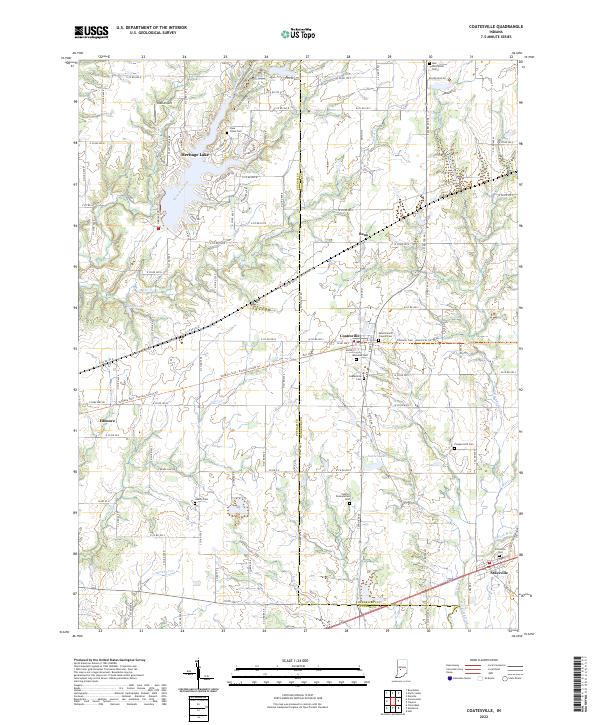
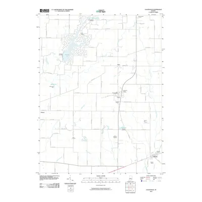
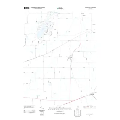
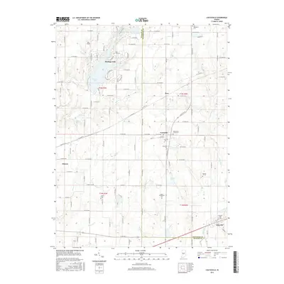
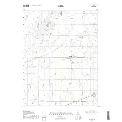
Coatesville and Stilesville anchor this portion of the Indiana landscape, where the rural character of Hendricks and Putnam Counties is defined by winding watercourses and small-scale settlements. The drainage patterns of Mill Creek, Deer Creek, and Monachals Fork dictate the layout of local roads, while the modern presence of Heritage Lake and Sunset Lake marks more recent residential and recreational development.
Find a feature on this map
38 named features on this map. Tap any name to fly to it.
Don’t see what you’re looking for? This feature index may not catch every label — zoom into the map to look around manually.
Map Details
Date Portrayed2022
Date Published2022
PublisherU.S. Geological Survey
Map TypeTopographic
Scale1:24,000
Physical Dimensions24 x 29 inches
Editions of this 2022 Coatesville Map
This is the sole edition of this map. No revisions or reprints were ever made.
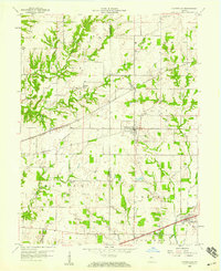
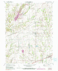
Historical Maps of Coatesville Through Time
7 maps found
Featured Locations
Source Details
SourceU.S. Geological Survey
CopyrightPublic Domain