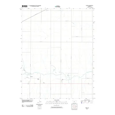
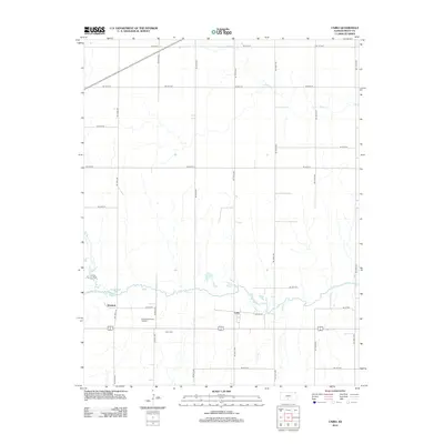
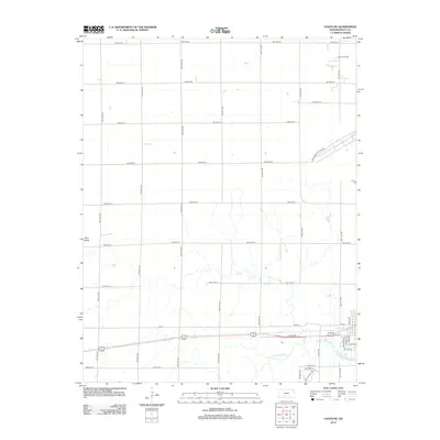
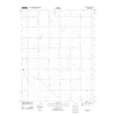
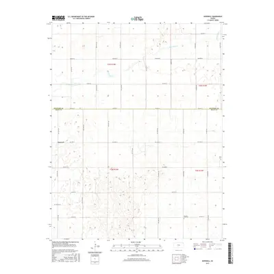
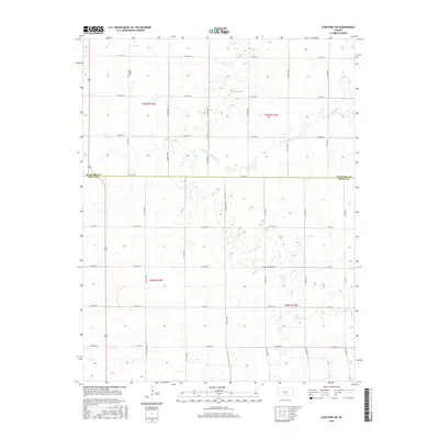
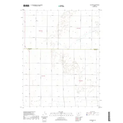
2022 Map of Coats NE
USGS Topo · Published 2022About this map
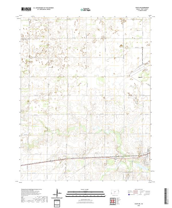
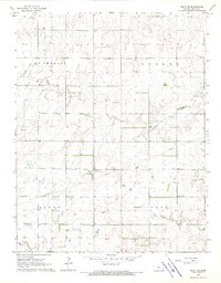
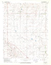
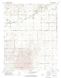
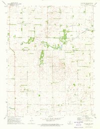
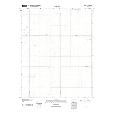
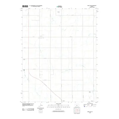
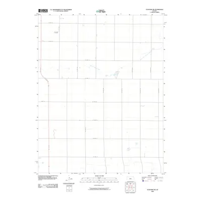
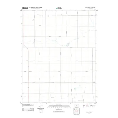
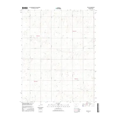
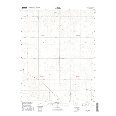
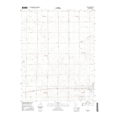
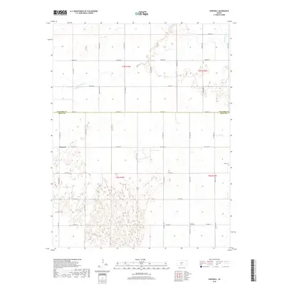
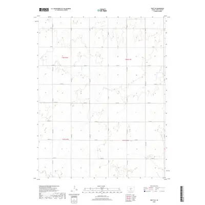
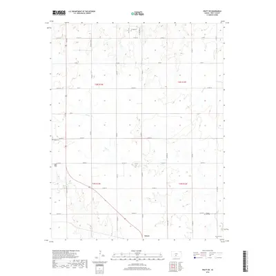
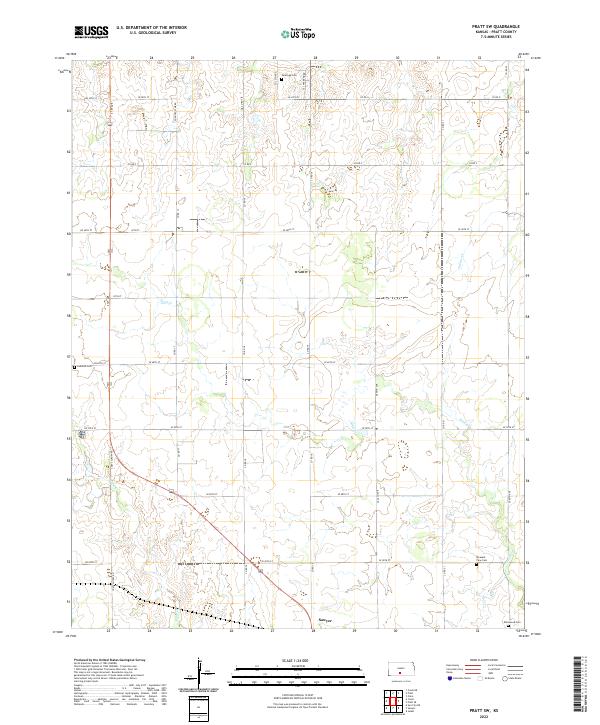
Pratt serves as the focal point of this Pratt County landscape, where the agricultural grid of south-central Kansas meets the headwaters of the S Fork Ninnescah River. The terrain is characterized by subtle elevation changes, including the notable high point at Pilot Knob in the western reaches of the survey. The development of the area is heavily influenced by the Pratt Municipal Airport and a dense network of section-line roads, such as NW 70th St and NW 10th St, which organize the rural prairie around the town center. This layout reflects a modern balance between historic land divisions and contemporary infrastructure, with primary arteries like W 1st St and the Access Rd facilitating movement through the river valley.
Find a feature on this map
25 named features on this map. Tap any name to fly to it.
Don’t see what you’re looking for? This feature index may not catch every label — zoom into the map to look around manually.
Map Details
Editions of this 2022 Coats NE Map
This is the sole edition of this map. No revisions or reprints were ever made.
Historical Maps of Pratt Through Time
42 maps found
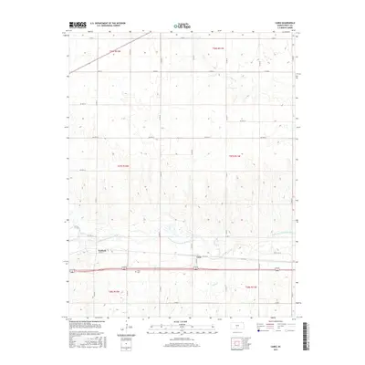
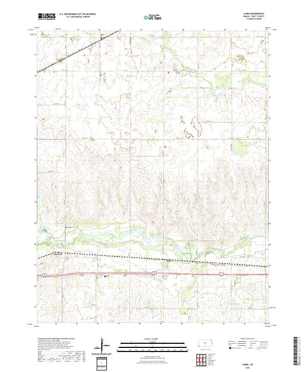
1967 Cairo
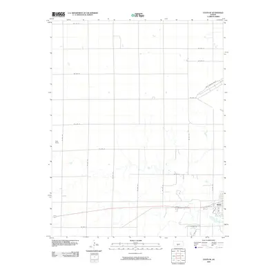
Pratt County, KS
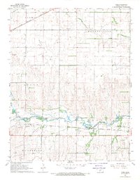
1968 Coats NE
Pratt County, KS
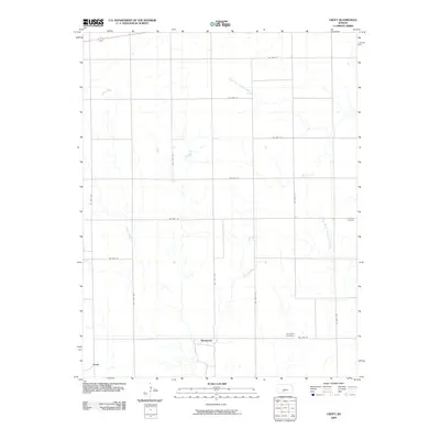
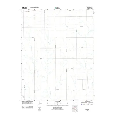
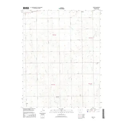
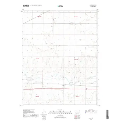
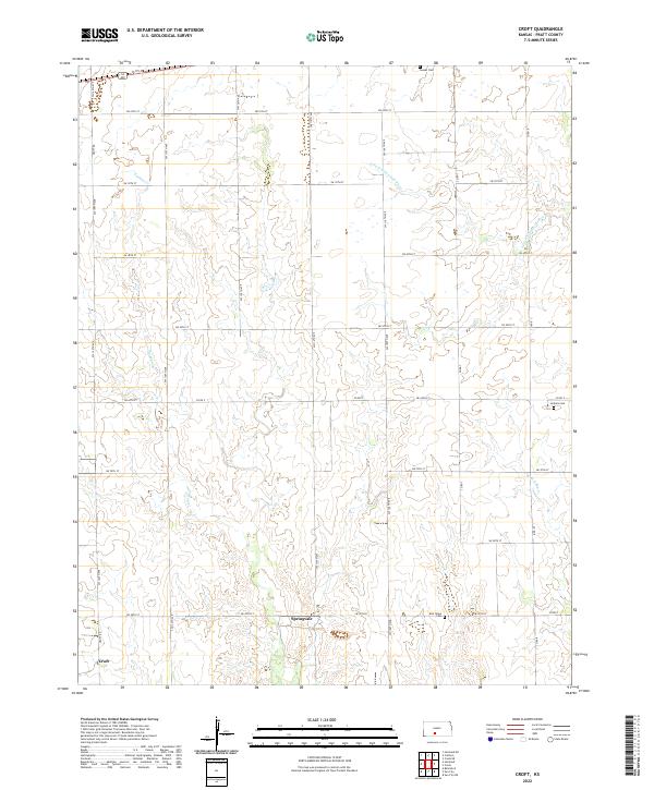
1968 Croft
Pratt County, KS
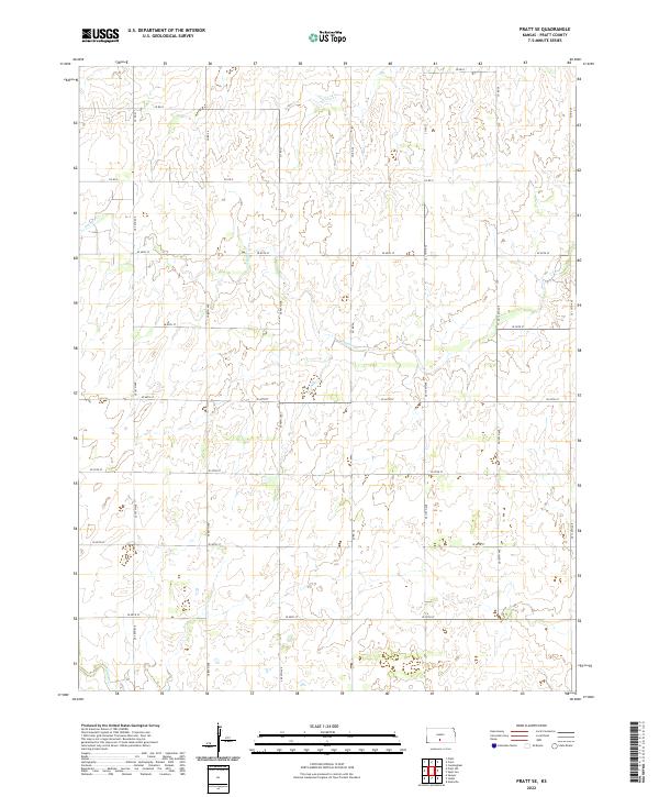
1968 Pratt SE
Pratt County, KS
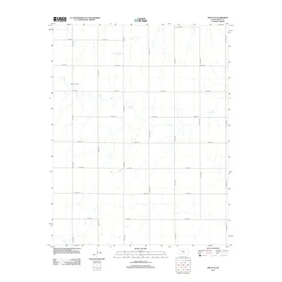
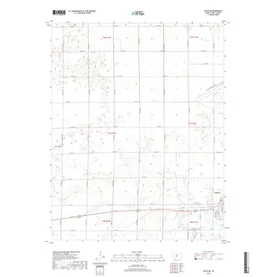
1968 Pratt SW
Pratt County, KS
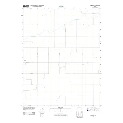
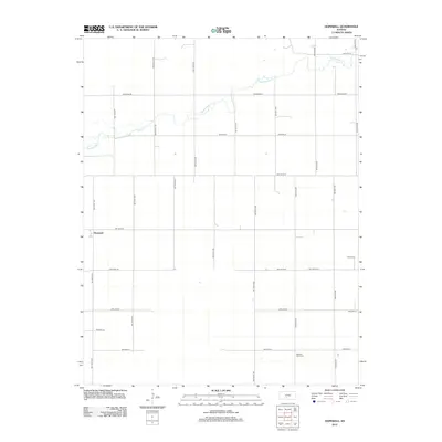
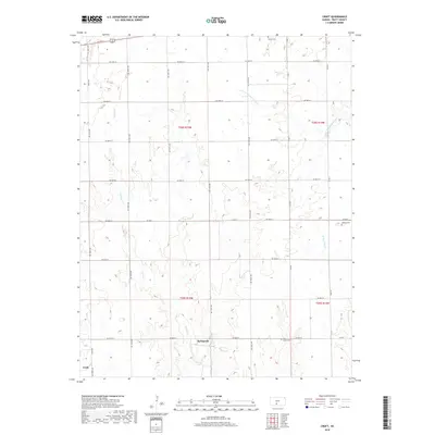
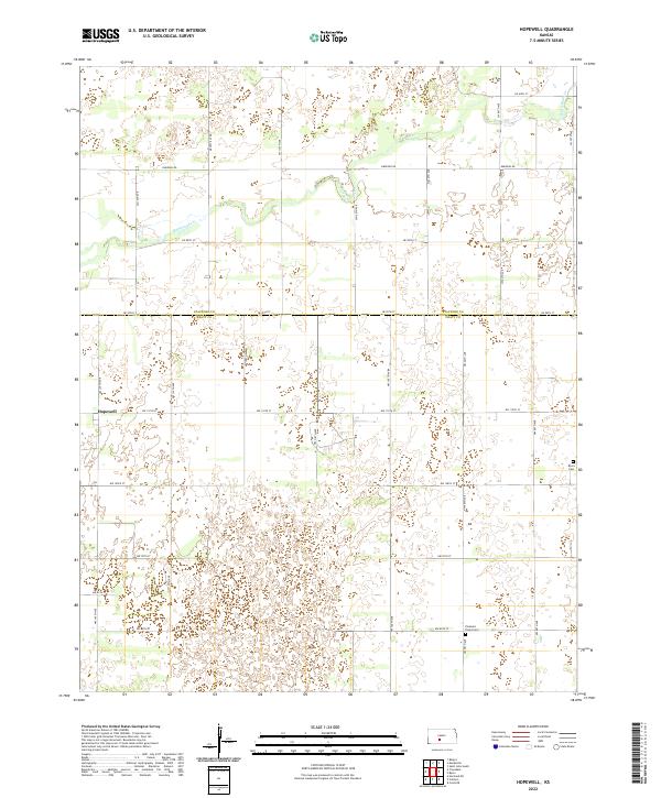
1971 Hopewell
Pratt County, KS
1971 Stafford SW
Pratt County, KS
2009 Cairo
Pratt County, KS
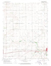
2009 Coats NE
Pratt County, KS
2009 Croft
Pratt County, KS
2009 Hopewell
Pratt County, KS
2009 Pratt SE
Pratt County, KS
2009 Pratt SW
Pratt County, KS
2009 Stafford SW
Pratt County, KS
2012 Cairo
Pratt County, KS
2012 Coats NE
Pratt County, KS
2012 Croft
Pratt County, KS
2012 Hopewell
Pratt County, KS
2012 Pratt SE
Pratt County, KS
2012 Pratt SW
Pratt County, KS
2012 Stafford SW
Pratt County, KS
2015 Cairo
Pratt County, KS
2015 Croft
Pratt County, KS
2015 Hopewell
Pratt County, KS
2015 Pratt SE
Pratt County, KS
2015 Pratt SW
Pratt County, KS
2016 Coats NE
Pratt County, KS
2016 Stafford SW
Pratt County, KS
2018 Cairo
Pratt County, KS
2018 Coats NE
Pratt County, KS
2018 Croft
Pratt County, KS
2018 Hopewell
Pratt County, KS
2018 Pratt SE
Pratt County, KS
2018 Pratt SW
Pratt County, KS
2018 Stafford SW
Pratt County, KS
2022 Cairo
Pratt County, KS
2022 Coats NE
Pratt County, KS
2022 Croft
Pratt County, KS
2022 Hopewell
Pratt County, KS
2022 Pratt SE
Pratt County, KS
2022 Pratt SW
Pratt County, KS
2022 Stafford SW
Pratt County, KS