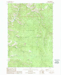
1989 Map of Cobalt
USGS Topo · Published 1989About this map
Cobalt stands as a central point of human activity within the expansive terrain of the Salmon National Forest during the late 1980s. This region of Lemhi County is defined by its industrial and natural resource history, centered on the mining activity at Blackpine Mine and several scattered prospects. The landscape is heavily dissected by watercourses like Panther Creek and Woodtick Creek, which carve through prominent landforms such as Deep Creek Ridge and Pepper Ridge.
Find a feature on this map
22 named features on this map. Tap any name to fly to it.
Don’t see what you’re looking for? This feature index may not catch every label — zoom into the map to look around manually.
Map Details
Editions of this 1989 Cobalt Map
This is the sole edition of this map. No revisions or reprints were ever made.
Other maps of this area

1950 · Blackbird Mtn
USGS Topo · 1:62,500

1950 · Leesburg
USGS Topo · 1:62,500

1951 · Leesburg
USGS Topo · 1:62,500

1951 · Blackbird Mtn
USGS Topo · 1:62,500

1956 · Elk City
USGS Topo · 1:250,000

1957 · Challis
USGS Topo · 1:250,000

1960 · Elk City
USGS Topo · 1:250,000

1960 · Challis
USGS Topo · 1:250,000
1962 · Degan Mtn
USGS Topo · 1:24,000

1963 · Challis
USGS Topo · 1:250,000