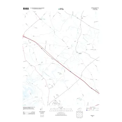
2013 Map of Cobb
USGS Topo · Published 2013About this map
The winding course of the Muddy Fork Little River serves as the central artery for this section of Trigg County, Kentucky. This landscape is defined by its small farming settlements and numerous family burying grounds, indicating a deeply rooted rural community. To the north, the hamlet of Hopson sits near Hopson Lake, while the community of Wallonia is located further east. The southern edge of the map shows the northern reaches of Cadiz, the county seat, as it meets the edge of Lake Barkley and the Little River. Genealogists will find a wealth of data points here, with over ten cemeteries mapped, including Nabb Cem, Merrick Cem, and Adams Cem. The transition from the more modern infrastructure near Cadiz to the older, more isolated settlements like Cobb highlights the evolving character of the region as it borders the Tennessee River valley reservoirs.
Find a feature on this map
85 named features on this map. Tap any name to fly to it.
Don’t see what you’re looking for? This feature index may not catch every label — zoom into the map to look around manually.
Map Details
Editions of this 2013 Cobb Map
This is the sole edition of this map. No revisions or reprints were ever made.
Other maps of this area

1908 · Princeton
USGS Topo · 1:62,500

1909 · Dawson Springs
USGS Topo · 1:48,000

1910 · Princeton
USGS Topo · 1:62,500

1911 · Dawson Springs
USGS Topo · 1:62,500

1950 · Caledonia
USGS Topo · 1:24,000

1951 · Caledonia
USGS Topo · 1:24,000

1953 · Canton
USGS Topo · 1:24,000

1953 · Gracey
USGS Topo · 1:24,000

1953 · Cobb
USGS Topo · 1:24,000

1953 · Dawson Springs SW
USGS Topo · 1:24,000