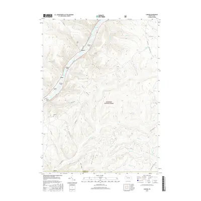
2016 Map of Cobham
USGS Topo · Published 2016About this map
The Allegheny River winds through a heavily forested corridor of the Allegheny National Forest, where river-oriented settlements like Cobham and Magee sit tucked between the water and steep valley walls. This modern survey illustrates the enduring geography of the river's eddies and islands, including Millstone Island and Fuellhart Island, which have long served as landmarks for navigation and local recreation. Away from the banks, the terrain is defined by deep cuts such as Bully Hollow and Dark Hollow, illustrating the complex drainage of the high plateau into the river basin.
Find a feature on this map
46 named features on this map. Tap any name to fly to it.
Don’t see what you’re looking for? This feature index may not catch every label — zoom into the map to look around manually.
Map Details
Editions of this 2016 Cobham Map
This is the sole edition of this map. No revisions or reprints were ever made.
Other maps of this area

1906 · Warren
USGS Topo · 1:62,500

1907 · Warren
USGS Topo · 1:62,500

1908 · Warren
USGS Topo · 1:62,500

1926 · Youngsville
USGS Topo · 1:62,500

1927 · Tidioute
USGS Topo · 1:48,000

1929 · Youngsville
USGS Topo · 1:62,500

1930 · Tidioute
USGS Topo · 1:62,500

1935 · Sheffield
USGS Topo · 1:48,000

1941 · Sheffield
USGS Topo · 1:62,500

1943 · Youngsville
USGS Topo · 1:62,500