2022 Map of Cobhill
USGS Topo · Published 2022About this map
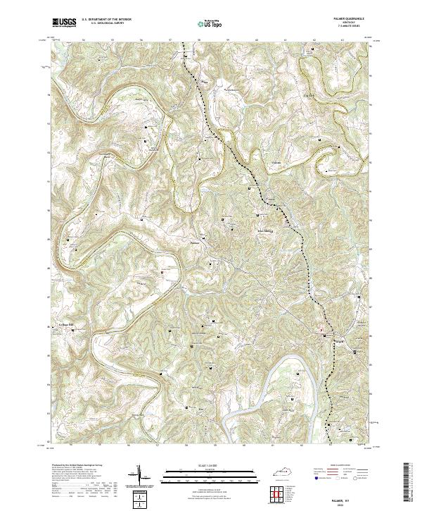
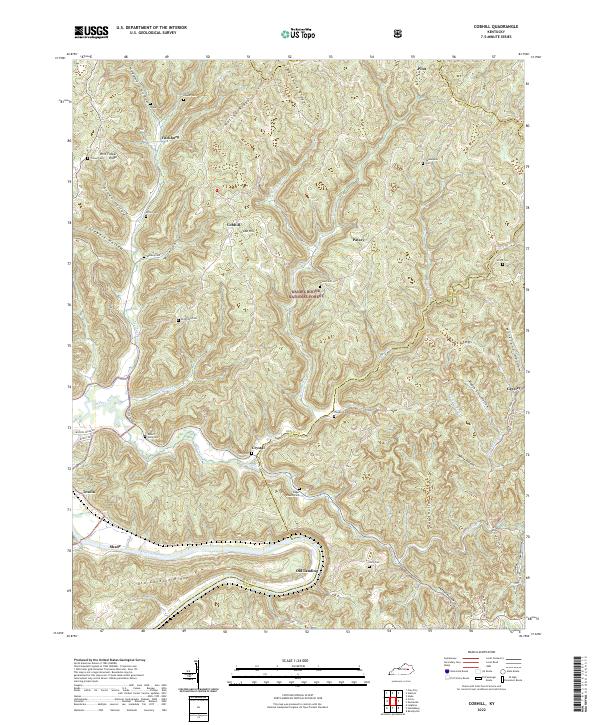
The Kentucky River winds through the southern edge of this landscape, marking the historic boundary between Estill and Lee counties. Steep ridges like Watson Ridge and Wild Flower Ridge define the rugged topography within the Daniel Boone National Forest, where narrow hollows provided the few viable locations for early mountain settlements. Small communities and family hubs such as Cobhill, Fitchburg, and Crystal are found at high points and stream junctions, many with deep roots evidenced by local burying grounds like Vanderpool Cem, Mackey Cem, and Gross Cem.
Find a feature on this map
58 named features on this map. Tap any name to fly to it.
Don’t see what you’re looking for? This feature index may not catch every label — zoom into the map to look around manually.
Map Details
Editions of this 2022 Cobhill Map
This is the sole edition of this map. No revisions or reprints were ever made.
Historical Maps of Pilot Through Time
6 maps found