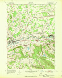
1943 Map of Cobleskill
USGS Topo · Published 1969About this map
Cobleskill serves as the focal point of this Schoharie County survey, which was field-checked in 1943 during the wartime years. The village is anchored by the State Agricultural School and the Delaware Hudson railroad, which follows the winding course of Cobleskill Creek. To the east, the landscape is marked by unique geologic features like Howes Cave and the Secret Caverns, alongside industrial sites like the Klondike Quarry.
Find a feature on this map
53 named features on this map. Tap any name to fly to it.
Don’t see what you’re looking for? This feature index may not catch every label — zoom into the map to look around manually.
Map Details
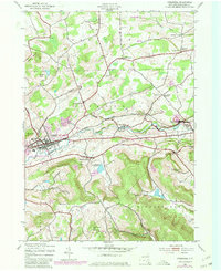
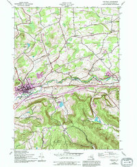
Editions of this 1943 Cobleskill Map
4 editions found

Other maps of this area

1896 · Fonda
USGS Topo · 1:62,500

1898 · Fonda
USGS Topo · 1:62,500

1898 · Canajoharie
USGS Topo · 1:62,500

1898 · Schoharie
USGS Topo · 1:62,500

1900 · Canajoharie
USGS Topo · 1:62,500

1900 · Schoharie
USGS Topo · 1:62,500

1900 · Schoharie
USGS Topo · 1:31,680

1902 · Canajoharie
USGS Topo · 1:62,500

1902 · Fonda
USGS Topo · 1:62,500

1904 · Richmondville
USGS Topo · 1:62,500