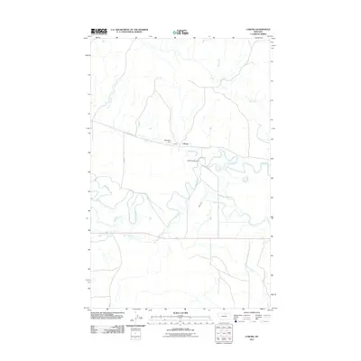
2011 Map of Coburg
USGS Topo · Published 2011About this map
Milk River meanders through this section of Blaine County, carving a wide floodplain defined by oxbows and intricate waterway channels. Near the small settlement of Coburg, the river is joined by Milk Creek from the north and Peoples Creek from the south, illustrating the drainage patterns of north-central Montana. The landscape is heavily influenced by water management for local agriculture, most notably by the Main Canal and the Mayflower Dam, which regulate flow across the plains. Human presence is etched into the terrain via rural routes such as Old Savoy Rd and Chamberlain Ln, connecting the isolated homesteads and ranch lands that rely on the White Bear Creek watershed.
Find a feature on this map
12 named features on this map. Tap any name to fly to it.
Don’t see what you’re looking for? This feature index may not catch every label — zoom into the map to look around manually.
Map Details
Editions of this 2011 Coburg Map
This is the sole edition of this map. No revisions or reprints were ever made.
Other maps of this area

1903 · Wayne Creek
USGS Topo · 1:62,500

1905 · Wayne Creek
USGS Topo · 1:62,500

1913 · Cherry Ridge
USGS Topo · 1:125,000

1920 · Avery
USGS Topo · 1:125,000

1953 · Havre
USGS Topo · 1:250,000

1957 · Havre
USGS Topo · 1:250,000

1958 · Havre
USGS Topo · 1:250,000

1964 · Wayne Creek SE
USGS Topo · 1:24,000

1964 · Coburg
USGS Topo · 1:24,000

1964 · Coburg SE
USGS Topo · 1:24,000