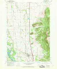
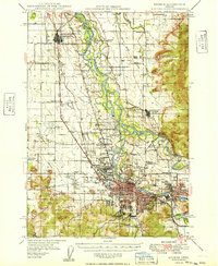
1967 Map of Coburg
USGS Topo · Published 1969About this map
Coburg occupies the level valley floor east of the Willamette River, serving as a primary hub where the Southern Pacific railroad meets a network of country roads like Coburg Road and Van Duyn Road. The landscape is defined by the contrast between the fertile, creek-laced lowlands of Coburg Bottom and the sudden elevation of the eastern foothills. Prominent peaks such as West Point Hill and Centennial Butte rise sharply from the plains, while the winding courses of Dry Muddy Creek and Mill Slough dictate the local drainage patterns.
Find a feature on this map
26 named features on this map. Tap any name to fly to it.
Don’t see what you’re looking for? This feature index may not catch every label — zoom into the map to look around manually.
Map Details
Editions of this 1967 Coburg Map
This is the sole edition of this map. No revisions or reprints were ever made.
Other maps of this area

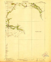
1909 · Harrisburg
USGS Topo · 1:31,680

1909 · Rowland
USGS Topo · 1:31,680

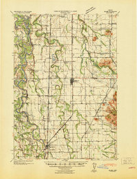
1910 · Eugene
USGS Topo · 1:62,500

1912 · Halsey
USGS Topo · 1:62,500
1921 · Brownsville
USGS Topo · 1:62,500

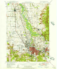
1940 · Eugene
USGS Topo · 1:62,500
1941 · Halsey
USGS Topo · 1:62,500
1946 · Eugene
USGS Topo · 1:62,500
1949 · Eugene
USGS Topo · 1:62,500
1950 · Marcola
USGS Topo · 1:62,500