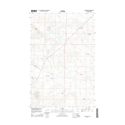
2014 Map of Coburn Butte
USGS Topo · Published 2014About this map
Coburn Butte rises as a prominent landmark in this segment of the Lodge Pole District, characterizing a landscape defined by deep drainages and ranching corridors. The area is dominated by the Judith River Ridge to the northwest, with water managed through systems like the Coburn Ditch and natural flows such as Little Warm Cr and Beaver Cr. This 2014 survey documents a network of rural roads that likely serve the ranching community, including Matador Rd, Catherine Halever Rd, and Fred Eman Rd. The terrain is deeply incised by coulees and gulches, most notably Sevenmile Coulee, Parrott Coulee, and Bear Gulch, which dictate the movement of both water and travel across these Montana plains.
Find a feature on this map
21 named features on this map. Tap any name to fly to it.
Don’t see what you’re looking for? This feature index may not catch every label — zoom into the map to look around manually.
Map Details
Editions of this 2014 Coburn Butte Map
This is the sole edition of this map. No revisions or reprints were ever made.
Other maps of this area

1953 · Havre
USGS Topo · 1:250,000

1954 · Lewistown
USGS Topo · 1:250,000

1957 · Havre
USGS Topo · 1:250,000

1958 · Havre
USGS Topo · 1:250,000

1959 · Lewistown
USGS Topo · 1:250,000

1965 · Veseth Reservoir
USGS Topo · 1:24,000

1965 · Phillips
USGS Topo · 1:24,000

1965 · Dry Fork Ridge
USGS Topo · 1:24,000

1971 · Bear Mountain
USGS Topo · 1:24,000

1971 · Robinson School
USGS Topo · 1:24,000