
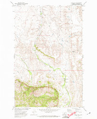
1971 Map of Bear Mountain
USGS Topo · Published 1974About this map
The Little Rocky Mountains dominate the landscape of north-central Montana in this survey, showcasing a rugged interior terrain defined by prominent elevations such as Bear Mountain and Travois Butte. The western portion of the sheet is marked by the Fort Belknap Indian Reservation Boundary, a significant administrative line that separates the tribal lands from the surrounding area.
Find a feature on this map
23 named features on this map. Tap any name to fly to it.
Don’t see what you’re looking for? This feature index may not catch every label — zoom into the map to look around manually.
Map Details
Editions of this 1971 Bear Mountain Map
This is the sole edition of this map. No revisions or reprints were ever made.
Other maps of this area

1943 · Landusky
USGS Topo · 1:125,000

1953 · Havre
USGS Topo · 1:250,000

1954 · Lewistown
USGS Topo · 1:250,000

1957 · Havre
USGS Topo · 1:250,000

1958 · Havre
USGS Topo · 1:250,000

1959 · Lewistown
USGS Topo · 1:250,000

1971 · Robinson School
USGS Topo · 1:24,000

1971 · Hays SE
USGS Topo · 1:24,000

1971 · Bison Bone Reservoir
USGS Topo · 1:24,000
1971 · Lodge Pole
USGS Topo · 1:24,000