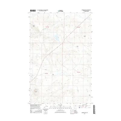
2017 Map of Coburn Butte
USGS Topo · Published 2017About this map
Coburn Butte rises as a prominent landmark in this segment of the Lodge Pole District, anchoring a landscape defined by seasonal watercourses and drainage coulees. The map details the complex hydrography of the region, where Little Warm Cr and Beaver Cr navigate the terrain alongside man-made improvements like the Coburn Ditch. This 2017 survey illustrates the enduring rural character of Phillips County, where long-established ranching and agricultural routes such as Matador Rd and Bear Gulch Rd provide the primary network across the open country. The prominence of landforms like the Judith River Ridge and deep incisions such as Sevenmile Coulee and Bear Gulch reflect a landscape shaped by geological forces and the scarce but critical water sources that dictate settlement patterns in north-central Montana.
Find a feature on this map
20 named features on this map. Tap any name to fly to it.
Don’t see what you’re looking for? This feature index may not catch every label — zoom into the map to look around manually.
Map Details
Editions of this 2017 Coburn Butte Map
This is the sole edition of this map. No revisions or reprints were ever made.
Other maps of this area

1953 · Havre
USGS Topo · 1:250,000

1954 · Lewistown
USGS Topo · 1:250,000

1957 · Havre
USGS Topo · 1:250,000

1958 · Havre
USGS Topo · 1:250,000

1959 · Lewistown
USGS Topo · 1:250,000

1965 · Veseth Reservoir
USGS Topo · 1:24,000

1965 · Phillips
USGS Topo · 1:24,000

1965 · Dry Fork Ridge
USGS Topo · 1:24,000

1971 · Bear Mountain
USGS Topo · 1:24,000

1971 · Robinson School
USGS Topo · 1:24,000