
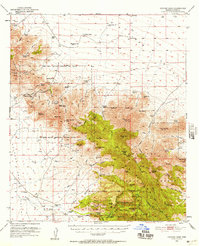
1950 Map of Cochise Head
USGS Topo · Published 1952About this map
Old Fort Bowie (Ruins) sits as a quiet historical anchor at Apache Pass, within the expansive Fort Bowie Military Reservation Bdy (Aban'd). This 1950s survey documents a landscape of high desert transition, where the Dos Cabezas Mountains meet the northern reaches of the Coronado National Forest. The map captures the remote ranching and mining economy of the era, noting scattered sites like the Silverstrike Mine and the Marble Quarry. Local family history is preserved through labels for the Riggs Home Ranch, Lawhon Ranch, and Shafer Ranch. Further south, the iconic geology of the Chiricahua National Monument is detailed, including Massai Point and the Sugarloaf Mtn lookout, while the striking profile of Cochise Head dominates the eastern skyline above Wood Canyon.
Find a feature on this map
86 named features on this map. Tap any name to fly to it.
Don’t see what you’re looking for? This feature index may not catch every label — zoom into the map to look around manually.
Map Details
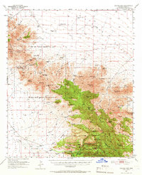
Editions of this 1950 Cochise Head Map
3 editions found
Other maps of this area

1916 · Pearce
USGS Topo · 1:125,000

1917 · San Simon
USGS Topo · 1:125,000

1917 · Chiricahua
USGS Topo · 1:125,000

1919 · Chiricahua
USGS Topo · 1:125,000

1922 · Willcox
USGS Topo · 1:125,000

1926 · Light
USGS Topo · 1:62,500

1926 · Cochise Head
USGS Topo · 1:62,500

1926 · Rodeo
USGS Topo · 1:62,500

1926 · Rucker
USGS Topo · 1:62,500

1926 · Orange Butte
USGS Topo · 1:62,500