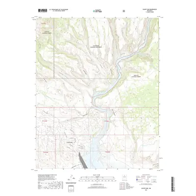
2020 Map of Cochiti Dam
USGS Topo · Published 2020About this map
The Cochiti Dam anchors this landscape where the high mesas and deep drainages of the Pajarito Plateau meet the waters of the Rio Grande. This 2020 survey details a region dominated by protected lands, including the rugged southern reaches of the Bandelier National Monument and the Santa Fe National Forest. The map shows the transition from mountain peaks like St Peters Dome to the dramatic incision of White Rock Canyon.
Find a feature on this map
43 named features on this map. Tap any name to fly to it.
Don’t see what you’re looking for? This feature index may not catch every label — zoom into the map to look around manually.
Map Details
Editions of this 2020 Cochiti Dam Map
This is the sole edition of this map. No revisions or reprints were ever made.
Other maps of this area

1892 · Santa Clara
USGS Topo · 1:125,000

1952 · White Rock
USGS Topo · 1:24,000

1952 · Frijoles
USGS Topo · 1:24,000

1952 · Montoso Peak
USGS Topo · 1:24,000

1953 · Cochiti Dam
USGS Topo · 1:24,000

1953 · Santo Domingo Pueblo
USGS Topo · 1:24,000

1953 · Bland
USGS Topo · 1:24,000

1953 · Tetilla Peak
USGS Topo · 1:24,000

1953 · Santo Domingo Pueblo SW
USGS Topo · 1:24,000

1953 · Canada
USGS Topo · 1:24,000