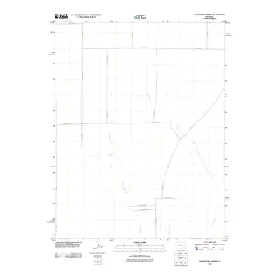
2010 Map of Cockleburr Springs
USGS Topo · Published 2010About this map
Cockleburr Springs serves as a central landmark in this high plains landscape of Lincoln County, where the drainage patterns of Cramer Creek and Breckenridge Creek define the arid topography. The map illustrates a strictly organized section-line road network, including arterial routes like County Hwy H and an extensive grid of local paths such as County Road G and County Road D. This survey captures the rural character of the region in the early twenty-first century, emphasizing the vital role of intermittent water sources and reliable county infrastructure in supporting the local ranching or agricultural economy. The sparse distribution of named features highlights the importance of specific landmarks like Cockleburr Springs for navigation and water access in this open Colorado terrain.
Find a feature on this map
18 named features on this map. Tap any name to fly to it.
Don’t see what you’re looking for? This feature index may not catch every label — zoom into the map to look around manually.
Map Details
Editions of this 2010 Cockleburr Springs Map
This is the sole edition of this map. No revisions or reprints were ever made.
Other maps of this area

1889 · Sanborn
USGS Topo · 1:125,000

1891 · Sanborn
USGS Topo · 1:125,000

1891 · Catlin
USGS Topo · 1:125,000

1891 · Nepesta
USGS Topo · 1:125,000

1893 · Nepesta
USGS Topo · 1:125,000

1893 · Sanborn
USGS Topo · 1:125,000

1893 · Big Springs
USGS Topo · 1:125,000

1893 · Catlin
USGS Topo · 1:125,000

1904 · Nepesta
USGS Topo · 1:125,000

1954 · Lamar
USGS Topo · 1:250,000